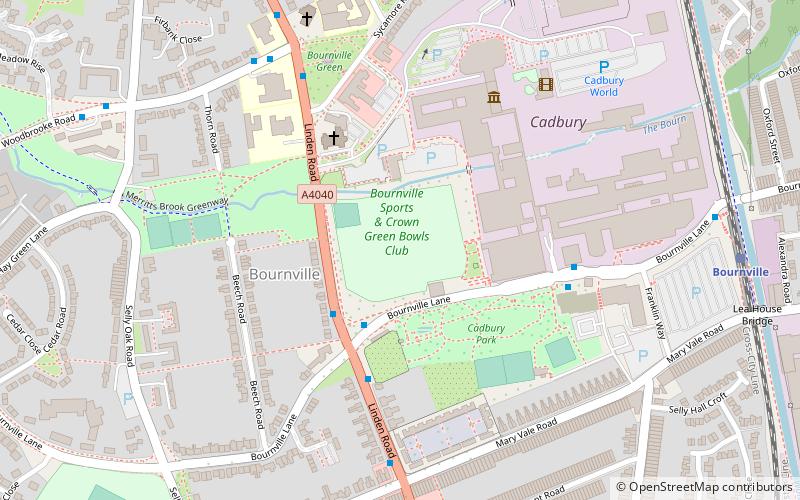
Bournville Cricket Ground, Birmingham

Map
Facts and practical information
The Bournville Cricket Ground in Birmingham, England was used for first-class cricket by Worcestershire County Cricket Club on two occasions. In 1910 they drew with Essex, and the following year they beat Surrey by two wickets. ()
Coordinates: 52°25'39"N, 1°56'2"W
Day trips
Bournville Cricket Ground – popular in the area (distance from the attraction)
Nearby attractions include: Cadbury World, Lifford Reservoir, Selly Oak Park, Woodbrooke.
Frequently Asked Questions (FAQ)
Which popular attractions are close to Bournville Cricket Ground?
Nearby attractions include St Francis of Assisi's Church, Birmingham (3 min walk), Bournville, Birmingham (5 min walk), Cadbury World, Birmingham (5 min walk), Minworth Greaves, Birmingham (6 min walk).
How to get to Bournville Cricket Ground by public transport?
The nearest stations to Bournville Cricket Ground:
Train
Bus
Train
- Bournville (8 min walk)
- Kings Norton (24 min walk)
Bus
- Bristol Rd / Witherford Way • Lines: 63 (18 min walk)
- Northfield Rd / Station Rd • Lines: 19 (19 min walk)


