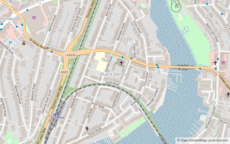
St Denys, Southampton
Map

Map

Facts and practical information
St Denys is a partially riverside district of Southampton, England, centred 1.5 miles north north-east of the city centre facing variously Bitterne Park and quay across the River Itchen estuary. The river is here spanned in the mid-east extreme of the district by Cobden Bridge, one of five within the city's broad boundaries, six including the railway bridge 100 m south. It is separated from the city centre by the districts sometimes known as Bevois Valley and New Town, in turn. ()
Coordinates: 50°55'27"N, 1°23'1"W
Address
Southampton Test (Portswood)Southampton
ContactAdd
Social media
Add
Day trips
St Denys – popular in the area (distance from the attraction)
Nearby attractions include: Southampton Common, Highfield Church, Mayflower Theatre, St. Mary's Church.
Frequently Asked Questions (FAQ)
Which popular attractions are close to St Denys?
Nearby attractions include Cobden Bridge, Southampton (6 min walk), Portswood Library, Southampton (11 min walk), Portswood, Southampton (12 min walk), Cobbett Hub & Library, Southampton (17 min walk).
How to get to St Denys by public transport?
The nearest stations to St Denys:
Bus
Train
Bus
- St Denys Church • Lines: U9 (2 min walk)
- Priory Road • Lines: U9 (4 min walk)
Train
- St Denys (6 min walk)
- Bitterne (14 min walk)


