Wandsworth Bridge, London
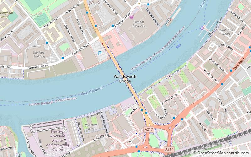
Map
Gallery
Facts and practical information
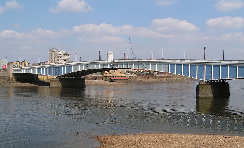
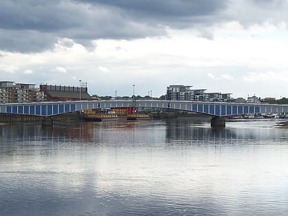
Wandsworth Bridge crosses the River Thames in west London. It carries the A217 road between the area of Battersea, near Wandsworth Town Station, in the London Borough of Wandsworth on the south of the river, and the areas of Sands End and Parsons Green, in the London Borough of Hammersmith and Fulham, on the north side. ()
Alternative names: Opened: 1940 (86 years ago)Length: 650 ftWidth: 60 ftCoordinates: 51°27'54"N, 0°11'16"W
Address
Wandsworth Bridge RdWandsworth (St. Mary's Park)London
ContactAdd
Social media
Add
Day trips
Wandsworth Bridge – popular in the area (distance from the attraction)
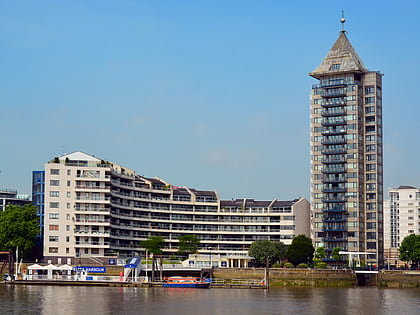
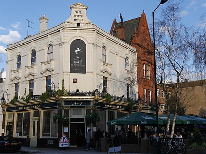
Nearby attractions include: Chelsea Harbour, Southside Wandsworth, Wandsworth Park, The White Horse.
Frequently Asked Questions (FAQ)
When is Wandsworth Bridge open?
Wandsworth Bridge is open:
- Monday 24h
- Tuesday 24h
- Wednesday 24h
- Thursday 24h
- Friday 24h
- Saturday 24h
- Sunday 24h
Which popular attractions are close to Wandsworth Bridge?
Nearby attractions include Wandsworth, London (6 min walk), Wandsworth Town Hall, London (14 min walk), Chelsea Harbour, London (18 min walk), Wandsworth Park, London (19 min walk).
How to get to Wandsworth Bridge by public transport?
The nearest stations to Wandsworth Bridge:
Bus
Ferry
Train
Metro
Bus
- Bridgend Road • Lines: 28, 295, C3, N28 (3 min walk)
- Wandsworth Bridge • Lines: 424, C3 (4 min walk)
Ferry
- Plantation Wharf Pier • Lines: Rb6 (7 min walk)
- Wandsworth Riverside Quarter Pier • Lines: Rb6 (13 min walk)
Train
- Wandsworth Town (7 min walk)
- Imperial Wharf (19 min walk)
Metro
- Parsons Green • Lines: District (24 min walk)
- Putney Bridge • Lines: District (24 min walk)
 Tube
Tube