Chelsea Harbour, London


Facts and practical information
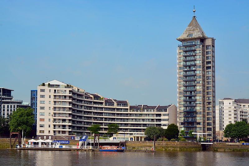
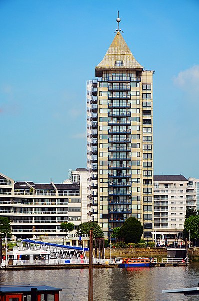
Nestled in the heart of London, Chelsea Harbour stands as a contemporary beacon of luxury and exclusivity. Located in the affluent area of Chelsea, this mixed-use development is a premier destination for those looking to immerse themselves in a blend of modern sophistication and maritime tranquility.
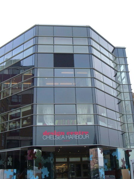
Originally conceived in the 1980s, Chelsea Harbour was developed on a site that was once a coal yard serving the railways. Today, it has transformed into a high-end enclave, featuring residential apartments, offices, a marina, and the prestigious Chelsea Harbour Design Centre. The Design Centre is a hub for interior design professionals, housing over 120 showrooms and attracting designers, architects, and clients from around the globe.
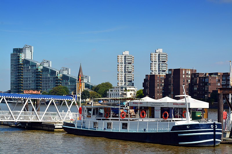
The marina at Chelsea Harbour is a picturesque setting, offering a serene escape from the bustling city streets. It is London's premier luxury yacht marina, providing moorings for an array of impressive vessels. The marina's presence adds a unique waterfront charm to the area, making it a delightful spot for a leisurely stroll or a moment of reflection by the water.
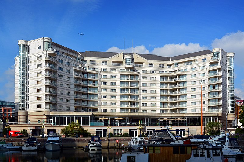
For those looking to stay in the area, the Chelsea Harbour Hotel provides five-star accommodations with panoramic views of the Thames. The hotel boasts well-appointed suites, a spa, and a restaurant that offers a fine dining experience with a view of the yachts bobbing in the marina.
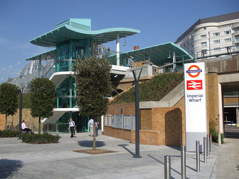
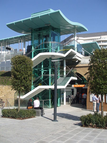
Chelsea Harbour is well-connected to the rest of London, with Imperial Wharf station providing convenient Overground rail services. This connectivity allows visitors to easily explore other parts of the city while returning to the tranquility of the harbour.
- Metro
- Bus
- Train
- Ferry
 Metro
Metro
- Calculate routeChelsea Harbour Pier 2 min walk
- Calculate routePlantation Wharf Pier 12 min walk
- Calculate routeCadogan Pier 23 min walk
- Calculate routeWandsworth Riverside Quarter Pier 27 min walk
- Calculate routeImperial Road 4 min walk
- Calculate routeBagleys Lane 5 min walk
- Calculate routeBattersea High Street 5 min walk
- Calculate routeImperial Wharf 5 min walk
- Calculate routeClapham Junction 19 min walk
- Calculate routeWandsworth Town 24 min walk
- Calculate routeFulham Broadway 21 min walk
- Calculate routeParsons Green 24 min walk
- Calculate routeWest Brompton 30 min walk
 Tube
Tube


Frequently Asked Questions (FAQ)
Which popular attractions are close to Chelsea Harbour?
How to get to Chelsea Harbour by public transport?
Ferry
- Chelsea Harbour Pier • Lines: Rb6 (2 min walk)
- Plantation Wharf Pier • Lines: Rb6 (12 min walk)
Bus
- Imperial Road • Lines: C3 (4 min walk)
- Bagleys Lane • Lines: 306, C3 (5 min walk)
Train
- Imperial Wharf (5 min walk)
- Clapham Junction (19 min walk)
Metro
- Fulham Broadway • Lines: District (21 min walk)
- Parsons Green • Lines: District (24 min walk)