Priestley College, Warrington

Map
Facts and practical information
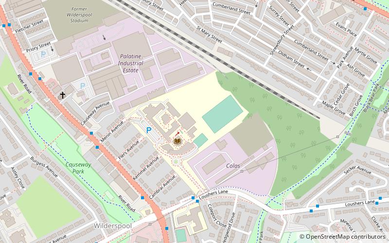
Priestley Sixth Form and Community College is a sixth form college in the Wilderspool district of Warrington, Cheshire, England. It also offers adult courses and professional training on another site, and is an associate college of the University of Salford. The college offers a range of courses, including AS/A2 Levels, BTECs, Advanced Diplomas, functional skills, and pre-university foundation courses. ()
Coordinates: 53°22'47"N, 2°34'57"W
Day trips
Priestley College – popular in the area (distance from the attraction)
Nearby attractions include: Halliwell Jones Stadium, St Mary's Church, Warrington Museum & Art Gallery, Parr Hall.
Frequently Asked Questions (FAQ)
Which popular attractions are close to Priestley College?
Nearby attractions include Stockton Heath, Warrington (13 min walk), St Thomas' Church, Warrington (13 min walk), Warrington Bridge, Warrington (15 min walk), Statue of Oliver Cromwell, Warrington (16 min walk).
How to get to Priestley College by public transport?
The nearest stations to Priestley College:
Bus
Train
Bus
- Central Avenue • Lines: Cat5, Cat5A, Cat6, Cat7, Cat8, Cat8A, Cat9, Cat9A, Cat9B (8 min walk)
- St James' Court • Lines: Cat5, Cat5A, Cat6, Cat7, Cat8, Cat8A, Cat9, Cat9A, Cat9B (10 min walk)
Train
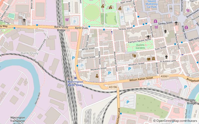
- Warrington Bank Quay (24 min walk)
- Warrington Central (25 min walk)


