New Spitalfields Market, London
Map

Map

Facts and practical information
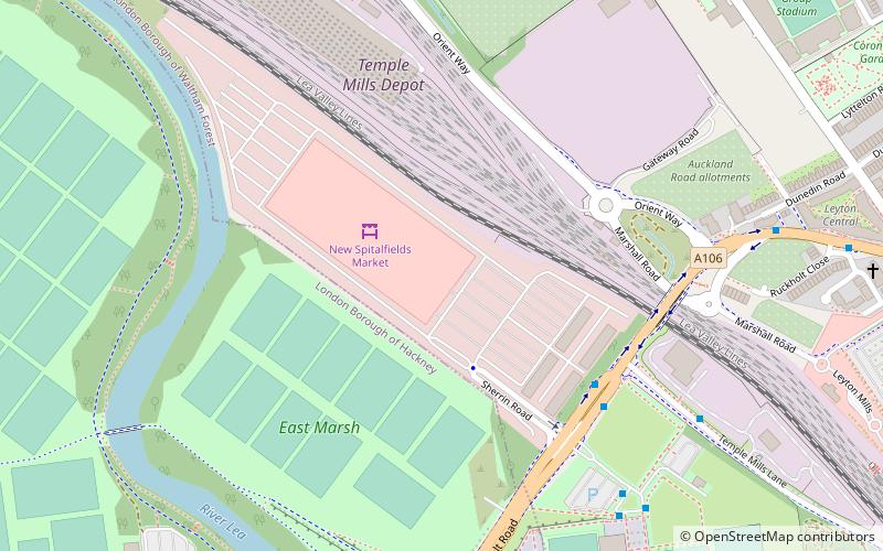
New Spitalfields Market is a fruit and vegetable market on a 31-acre site in Leyton, London Borough of Waltham Forest in East London. The market is owned and administrated by the City of London Corporation. The market is Europe's leading horticultural market specialising in exotic fruit and vegetables - and the largest revenue earning wholesale market in the UK. ()
Coordinates: 51°33'24"N, 0°1'10"W
Address
23 Sherrin RdWatham Forest (Leyton)London E10 5SQ
Contact
+44 20 8518 7670
Social media
Add
Day trips
New Spitalfields Market – popular in the area (distance from the attraction)
Nearby attractions include: Westfield Stratford City, London Aquatics Centre, Stratford Centre, Matchroom Stadium.
Frequently Asked Questions (FAQ)
Which popular attractions are close to New Spitalfields Market?
Nearby attractions include Leyton, London (9 min walk), St Eleutherius, London (10 min walk), Matchroom Stadium, London (10 min walk), Lower Lea Valley, London (13 min walk).
How to get to New Spitalfields Market by public transport?
The nearest stations to New Spitalfields Market:
Bus
Metro
Light rail
Train
Bus
- Spitalfields Market • Lines: N26, W15 (5 min walk)
- Lea Interchange Bus Garage • Lines: 308 (7 min walk)
Metro
- Leyton • Lines: Central (17 min walk)
- Stratford • Lines: Central, Jubilee (33 min walk)
Light rail
- Stratford International Platform 1 • Lines: Si-Wa (23 min walk)
- Stratford Platform 4b • Lines: S-L (33 min walk)
Train
- Hackney Wick (24 min walk)
- Stratford International (25 min walk)

 Tube
Tube


