Leyton Marsh, London
Map

Gallery

Facts and practical information
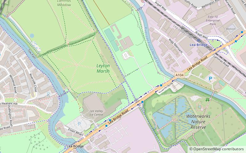
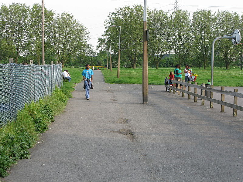
Leyton Marsh is an open space in the Lower Lea Valley, located in Leyton in the London Borough of Waltham Forest. ()
Elevation: 20 ft a.s.l.Coordinates: 51°33'55"N, 0°2'33"W
Address
Watham Forest (Lea Bridge)London
ContactAdd
Social media
Add
Day trips
Leyton Marsh – popular in the area (distance from the attraction)
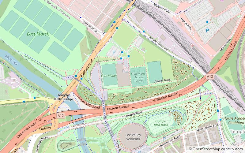
Nearby attractions include: Lee Valley VeloPark, Lee Valley Ice Centre, Lee Valley Hockey and Tennis Centre, Bomb Crater Pond.
Frequently Asked Questions (FAQ)
Which popular attractions are close to Leyton Marsh?
Nearby attractions include Bomb Crater Pond, London (8 min walk), Walthamstow Marshes, London (13 min walk), Emmanuel Parish Church, London (17 min walk), Springfield Park, London (21 min walk).
How to get to Leyton Marsh by public transport?
The nearest stations to Leyton Marsh:
Bus
Train
Bus
- Lee Valley Riding Centre • Lines: 55, 56, N38, N55 (3 min walk)
- Staffa Road • Lines: W19 (9 min walk)
Train
- Lea Bridge (7 min walk)
- Clapton (17 min walk)

 Tube
Tube


