Tŷ Pont Haearn, Cardiff
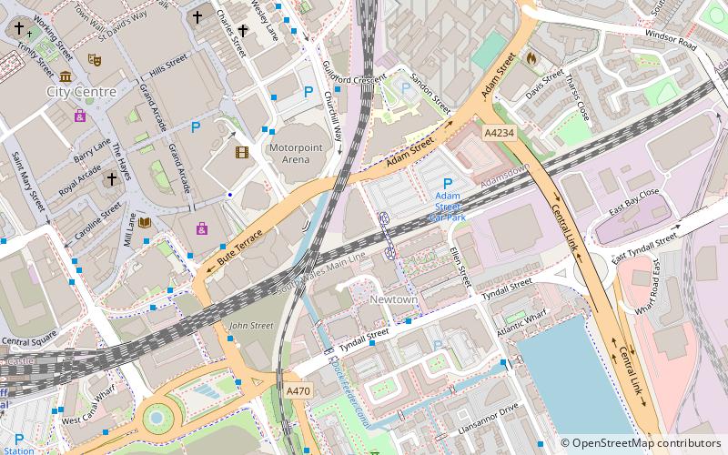
Map

Map

Facts and practical information
Tŷ Pont Haearn is a residential building and is also seventh tallest building in Cardiff, Wales. The building is currently managed by Unite Students. A previous management company temporarily renamed the building commercially as 'Liberty tower' however this name has since been removed. ()
Completed: 2005 (21 years ago)Floors: 21Coordinates: 51°28'40"N, 3°10'13"W
Address
Caerdydd Wouth (Waunadda)Cardiff
ContactAdd
Social media
Add
Day trips
Tŷ Pont Haearn – popular in the area (distance from the attraction)
Nearby attractions include: Queen Street, St David's, Cardiff Market, Capitol Centre.
Frequently Asked Questions (FAQ)
Which popular attractions are close to Tŷ Pont Haearn?
Nearby attractions include Cardiff International Arena, Cardiff (3 min walk), Altolusso, Cardiff (3 min walk), Cardiff city centre, Cardiff (4 min walk), Meridian Gate, Cardiff (5 min walk).
How to get to Tŷ Pont Haearn by public transport?
The nearest stations to Tŷ Pont Haearn:
Bus
Train
Bus
- Bute Terrace JK • Lines: 8 (4 min walk)
- Hayes Bridge Road • Lines: 28 (5 min walk)
Train
- Cardiff Queen Street (8 min walk)
- Cardiff Central (11 min walk)


