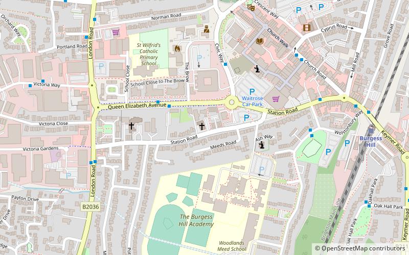
St Wilfrid's Church, Burgess Hill
Map

Map

Facts and practical information
St Wilfrid's Church is a Roman Catholic church in Burgess Hill, West Sussex. ()
Coordinates: 50°57'13"N, 0°8'4"W
Address
Burgess Hill
ContactAdd
Social media
Add
Day trips
St Wilfrid's Church – popular in the area (distance from the attraction)
Nearby attractions include: St John the Evangelist's Church, Bedelands Farm Nature Reserve, All Saints United Reformed Church, The Burgess Hill Golf Centre.
Frequently Asked Questions (FAQ)
Which popular attractions are close to St Wilfrid's Church?
Nearby attractions include St John the Evangelist's Church, Burgess Hill (7 min walk), Providence Strict Baptist Chapel, Burgess Hill (10 min walk), All Saints United Reformed Church, Burgess Hill (11 min walk).


