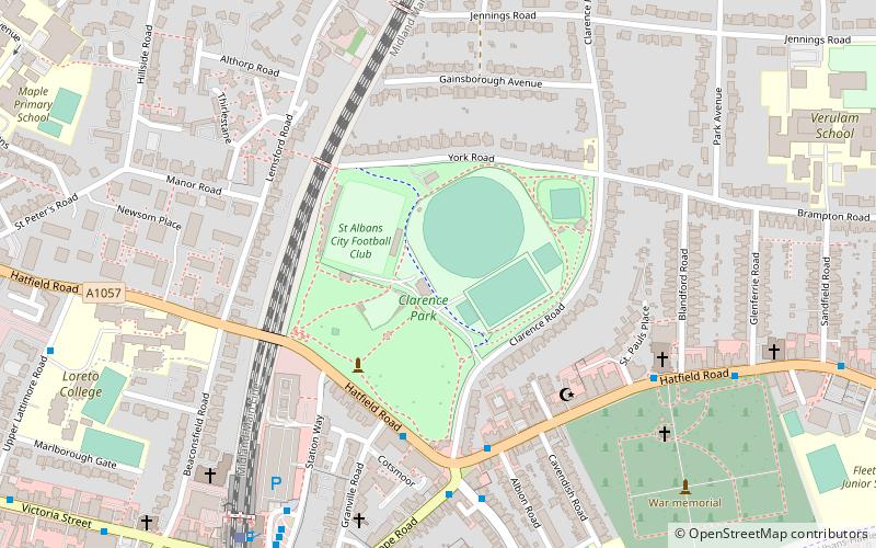
Clarence Park, St Albans
Map

Map

Facts and practical information
Clarence Park is a Victorian park used for sports and leisure in St Albans, England. It is still largely in its original form and has a rich variety of trees and planting. It is close to St Albans City railway station. ()
Alternative names: Opened: 23 July 1894 (131 years ago)Capacity: 5007Elevation: 338 ft a.s.l.Coordinates: 51°45'13"N, 0°19'26"W
Address
Clarence Rd.St Albans AL1 4NF
ContactAdd
Social media
Add
Day trips
Clarence Park – popular in the area (distance from the attraction)
Nearby attractions include: The Boot, St Albans Cathedral, Batchwood Hall, St Albans Museums.
Frequently Asked Questions (FAQ)
Which popular attractions are close to Clarence Park?
Nearby attractions include St Albans South Signal Box, St Albans (10 min walk), St Peter's Church, St Albans (13 min walk), Alban Arena, St Albans (14 min walk), St Albans Museums, St Albans (17 min walk).
How to get to Clarence Park by public transport?
The nearest stations to Clarence Park:
Bus
Train
Bus
- Crown PH • Lines: 84 (5 min walk)
- St Albans City Railway Station • Lines: 724, 84 (7 min walk)
Train
- St Albans City (8 min walk)
- St Albans Abbey (26 min walk)


