Church Road Cricket Ground, Reading
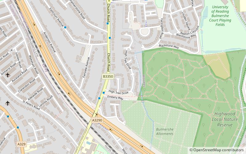
Map
Facts and practical information
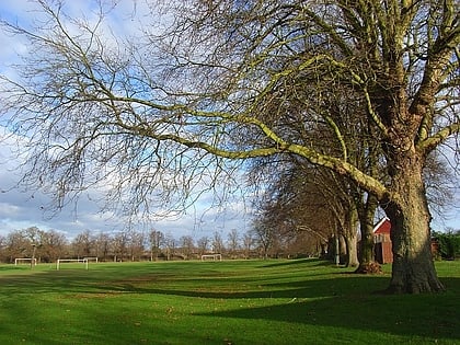
Church Road was a cricket ground located along Church Road in Earley, Berkshire, England. The ground was bordered to the east by woodland and to the north, south and west by residential housing. It contained one pavilion, located in the north western corner of the ground. ()
Coordinates: 51°26'51"N, 0°55'34"W
Address
EarleyReading
ContactAdd
Social media
Add
Day trips
Church Road Cricket Ground – popular in the area (distance from the attraction)
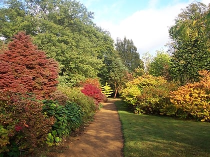
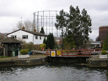
Nearby attractions include: Harris Garden, Blake's Lock, Cole Museum of Zoology, Ure Museum of Greek Archaeology.
Frequently Asked Questions (FAQ)
Which popular attractions are close to Church Road Cricket Ground?
Nearby attractions include Sol Joel Park, Reading (9 min walk), Statue of George Palmer, Reading (17 min walk), Palmer Park, Reading (17 min walk), Foxhill House, Reading (19 min walk).
How to get to Church Road Cricket Ground by public transport?
The nearest stations to Church Road Cricket Ground:
Bus
Train
Bus
- Anderson Avenue • Lines: 19a, 19c (3 min walk)
- Palmerstone Road • Lines: 19a, 19c (4 min walk)
Train
- Earley (15 min walk)
