Blake's Lock, Reading
Map
Map

Facts and practical information
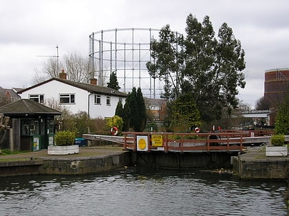
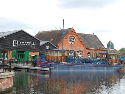
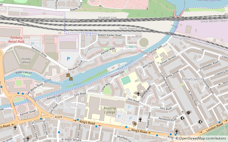
Blake's Lock is a lock situated on the River Kennet in Reading, Berkshire, England. It is on the short reach of the River Kennet which is administered as if it were part of the River Thames and is hence owned and managed by the Environment Agency. ()
Address
AbbeyReading
ContactAdd
Social media
Add
Day trips
Blake's Lock – popular in the area (distance from the attraction)
Nearby attractions include: Queen Victoria Street, The Oracle, Union Street, John Lewis.
Frequently Asked Questions (FAQ)
Which popular attractions are close to Blake's Lock?
Nearby attractions include Reading College, Reading (4 min walk), Riverside Museum at Blake's Lock, Reading (5 min walk), Cemetery Junction, Reading (9 min walk), Sacred Heart Church, Reading (10 min walk).
How to get to Blake's Lock by public transport?
The nearest stations to Blake's Lock:
Bus
Train
Bus
- Reading College • Lines: 13, 14, 17, 4, 702, X4 (5 min walk)
- Eldon Road • Lines: 13, 14, 17, 19a, 19b, 19c, 22, 3, 4, 702, 9, X4 (7 min walk)
Train
- Reading (21 min walk)
