The West Hants Club, Bournemouth
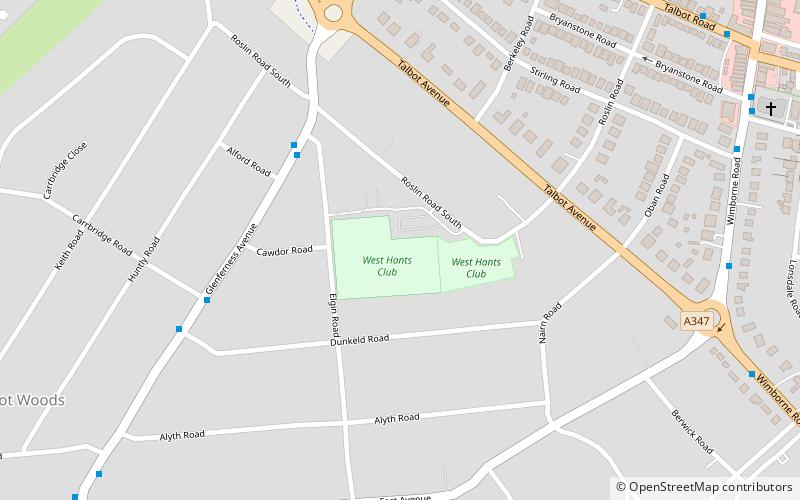
Map
Facts and practical information
The West Hants Club is a sports and fitness club situated in Bournemouth, Dorset in the south of England. The club is primarily a tennis club but also incorporates a gym, swimming pool and squash and racquetball courts. ()
Coordinates: 50°44'14"N, 1°53'14"W
Getting there by public transportation
Public transportation stops near this location
- Bus
- Train
 Bus
Bus
- Calculate routeRoslin Road South 4 min walk
- Calculate routeDunkeld Road 6 min walk
- Calculate routeTalbot Roundabout 7 min walk
- Calculate routeOsborne Road 8 min walk
- Calculate routeBournemouth 31 min walk
Day trips


Frequently Asked Questions (FAQ)
Which popular attractions are close to The West Hants Club?
Nearby attractions include Bournemouth University, Bournemouth (14 min walk), Winton, Bournemouth (15 min walk), Wimborne Road Cemetery, Bournemouth (17 min walk), Winton Library, Bournemouth (20 min walk).
How to get to The West Hants Club by public transport?
The nearest stations to The West Hants Club:
Bus
Train
Bus
- Roslin Road South • Lines: 36 (4 min walk)
- Dunkeld Road • Lines: 36 (6 min walk)
Train
- Bournemouth (31 min walk)