Tredworth Road Cemetery, Gloucester

Gallery (6)
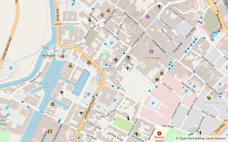
Map

Map

Gallery
Facts and practical information
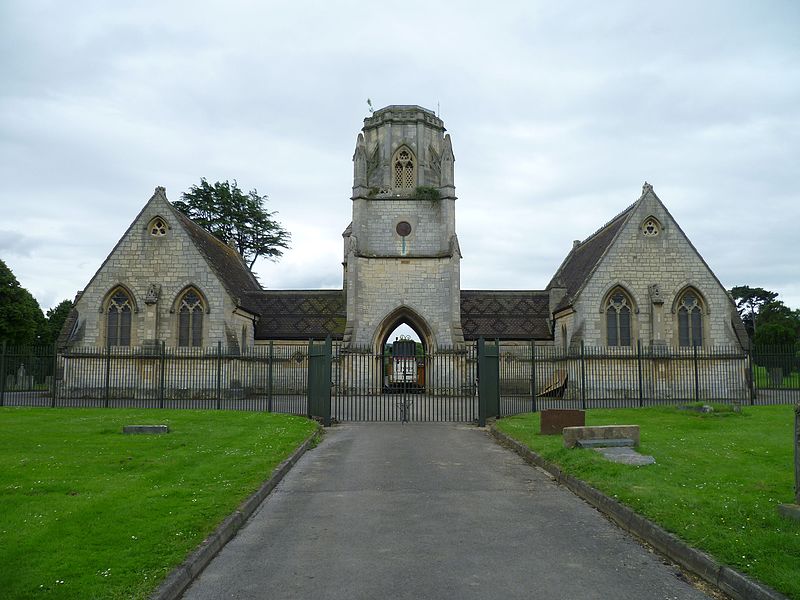
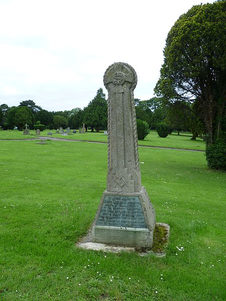
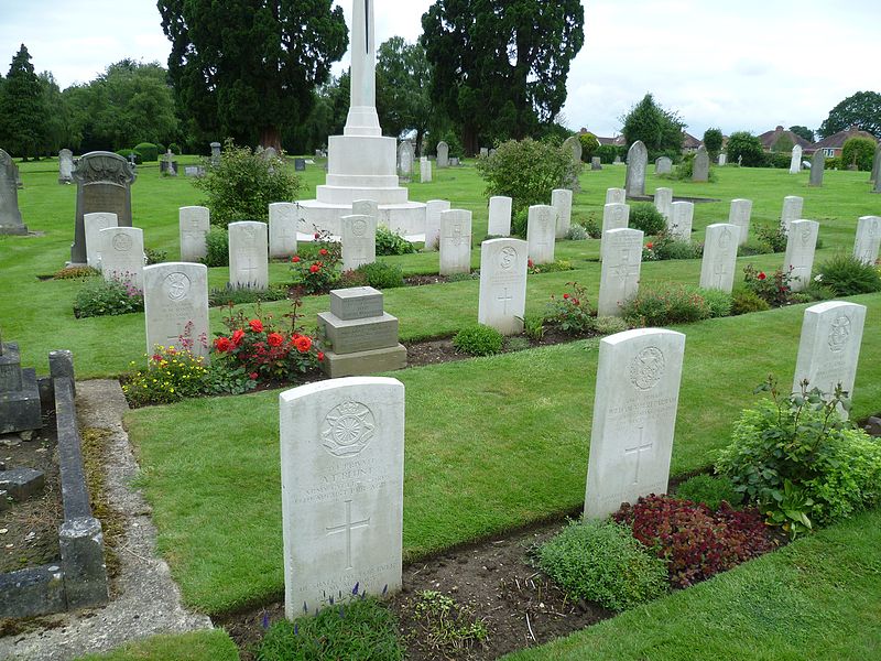
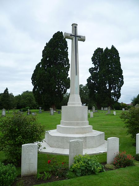
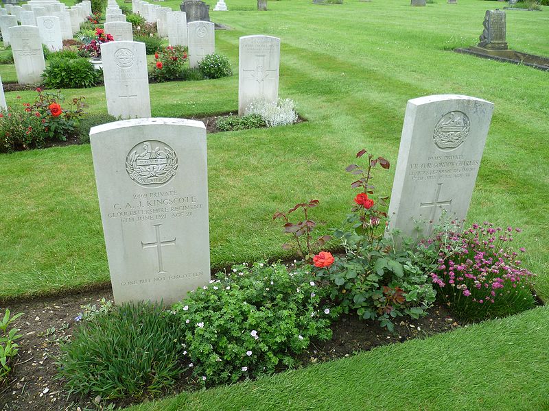
Tredworth Road Cemetery, sometimes known as Gloucester Old Cemetery, is a cemetery in Gloucester, England, that is run by Gloucester City Council. In addition, it contains over 250 war graves maintained by the Commonwealth War Graves Commission. The cemetery chapel is a grade II listed building with Historic England. ()
Coordinates: 51°50'57"N, 2°13'49"W
Getting there by public transportation
Public transportation stops near this location
- Train
 Train
Train
- Calculate routeGloucester 31 min walk
Day trips


Frequently Asked Questions (FAQ)
Which popular attractions are close to Tredworth Road Cemetery?
Nearby attractions include Barton and Tredworth, Gloucester (12 min walk), Barton Street, Gloucester (14 min walk), St Paul and St Stephen's Church, Gloucester (19 min walk), St Barnabas Church, Gloucester (21 min walk).
How to get to Tredworth Road Cemetery by public transport?
The nearest stations to Tredworth Road Cemetery:
Train
Train
- Gloucester (31 min walk)