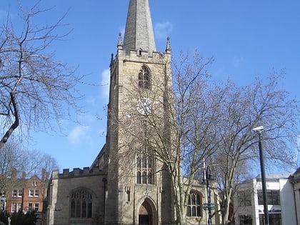
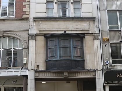
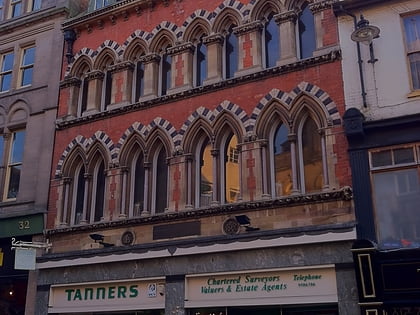
Bridlesmith Gate, Nottingham
Map

Gallery

Facts and practical information
Bridlesmith Gate is a pedestrianised shopping street in the city centre of Nottingham, England. It is located between Middle Pavement and Victoria Street. St. Peter's Gate and Bottle Lane stem off it along with Byard Lane. ()
Coordinates: 52°57'8"N, 1°8'50"W
Address
BridgeNottingham
ContactAdd
Social media
Add
Day trips
Bridlesmith Gate – popular in the area (distance from the attraction)
Nearby attractions include: intu Broadmarsh, Nottingham Council House, Old Market Square, City of Caves.
Frequently Asked Questions (FAQ)
Which popular attractions are close to Bridlesmith Gate?
Nearby attractions include Byard Lane, Nottingham (1 min walk), High Pavement, Nottingham (2 min walk), Weekday Cross, Nottingham (2 min walk), St Peter's Church, Nottingham (2 min walk).
How to get to Bridlesmith Gate by public transport?
The nearest stations to Bridlesmith Gate:
Bus
Tram
Train
Bus
- Fletcher Gate • Lines: 10, 11, 11C, 34, 5, 6, 7, 76, 77, 78, 79, 8, 9, Citylink 1, L1, N34, N77, W1 (2 min walk)
- George Street • Lines: 10, 11, 11C, 34, 5, 6, 7, 76, 77, 78, 79, 8, 9, Citylink 1, L1, N34, N77, W1 (4 min walk)
Tram
- Lace Market • Lines: 1, 2 (3 min walk)
- Old Market Square • Lines: 1, 2 (4 min walk)
Train
- Nottingham (9 min walk)


