Covenham Reservoir

Gallery (1)
Map
Map
Facts and practical information
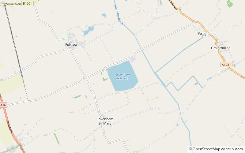
Covenham Reservoir, located in East Lindsey is a 200-acre reservoir and treatment works constructed between 1963 and 1978 by W. & C. French. The reservoir was built next to the Louth Navigation canal and acts as a pumped storage reservoir from the canal, and can be supplemented by transfer schemes from Great Eau and Long Eau rivers. ()
Average depth: 66 ftElevation: 7 ft a.s.l.Coordinates: 53°26'38"N, 0°1'32"E
Location
England
ContactAdd
Social media
Add
Day trips