St Peter's Church

Gallery (1)
Map
Map
Facts and practical information
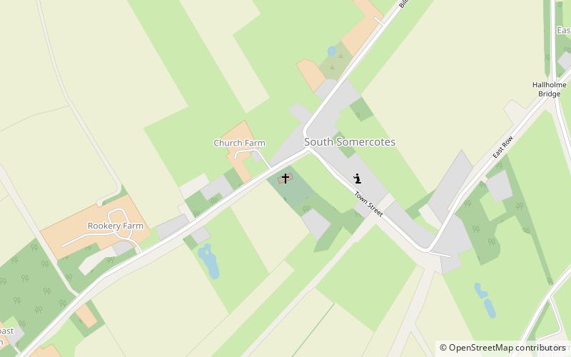
St Peter's Church is a redundant Anglican church in the village of South Somercotes, Lincolnshire, England. It is recorded in the National Heritage List for England as a designated Grade I listed building, and is under the care of the Churches Conservation Trust. The church is 8 miles to the northeast of Louth, and to the west of the A1013 road. With its tall spire rising from a flat landscape, it has been called "The Queen of the Marsh". ()
Architectural style: English gothicCoordinates: 53°25'20"N, 0°7'45"E
Day trips


