Cameron Toll, Edinburgh
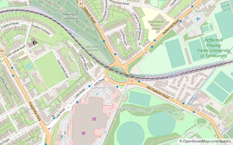
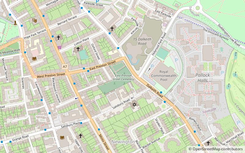
Map
Facts and practical information
Cameron Toll is a suburb located to the south of Edinburgh, Scotland. Originally it was the site of a toll house built in the early 19th century, which was located on a stretch of road between Edinburgh and Dalkeith. The meaning of the name Cameron is suggested to be 'crooked hill', derived from the Scots Gaelic 'cam', crooked, and Old Gaelic 'brun' meaning hill, believed to refer to Arthur’s Seat clearly visible nearby; the original name may have been Pictish. ()
Coordinates: 55°55'44"N, 3°9'42"W
Address
Cameron TollEdinburgh
ContactAdd
Social media
Add
Day trips
Cameron Toll – popular in the area (distance from the attraction)
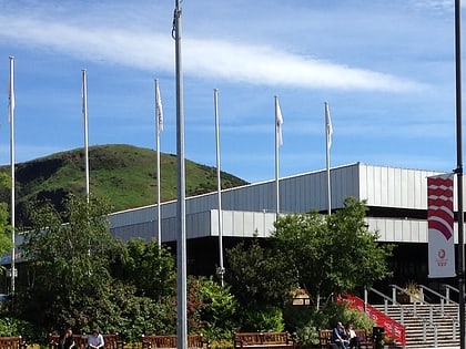
Nearby attractions include: Arthur's Seat, Royal Observatory, Royal Commonwealth Pool, Craigmillar Castle.
Frequently Asked Questions (FAQ)
Which popular attractions are close to Cameron Toll?
Nearby attractions include Newington Cemetery, Edinburgh (6 min walk), Inch, Edinburgh (14 min walk), Kings Buildings House, Edinburgh (17 min walk), Mayfield Salisbury Church, Edinburgh (17 min walk).
How to get to Cameron Toll by public transport?
The nearest stations to Cameron Toll:
Bus
Bus
- Cameron Toll • Lines: 49, 51 (2 min walk)
- Cameron Crescent • Lines: 51 (2 min walk)


