Bedfords Park, London
Map

Map

Facts and practical information
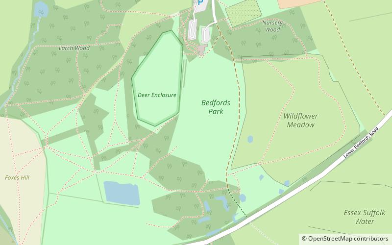
Bedfords Park is public open space of 215 acres or approximately 87½ hectares near Havering-atte-Bower in the London Borough of Havering in England. It is one of three large parklands around Havering-atte-Bower; the others are Havering Country Park and Pyrgo Park. ()
Area: 214.98 acres (0.3359 mi²)Elevation: 240 ft a.s.l.Coordinates: 51°36'23"N, 0°11'36"E
Address
Havering (Havering Park)London
ContactAdd
Social media
Add
Day trips
Bedfords Park – popular in the area (distance from the attraction)
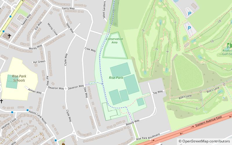
Nearby attractions include: Havering Country Park, Raphael Park, Gidea Park, Rise Park.
Frequently Asked Questions (FAQ)
Which popular attractions are close to Bedfords Park?
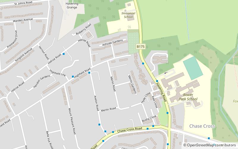
Nearby attractions include Chase Cross, Romford (19 min walk), Rise Park, Romford (20 min walk).
How to get to Bedfords Park by public transport?
The nearest stations to Bedfords Park:
Bus
Bus
- Helmsdale Road • Lines: 499 (13 min walk)
- Straight Road • Lines: 499 (15 min walk)

 Tube
Tube


