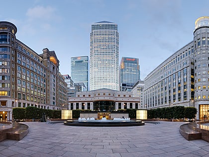
Chrisp Street Market, London
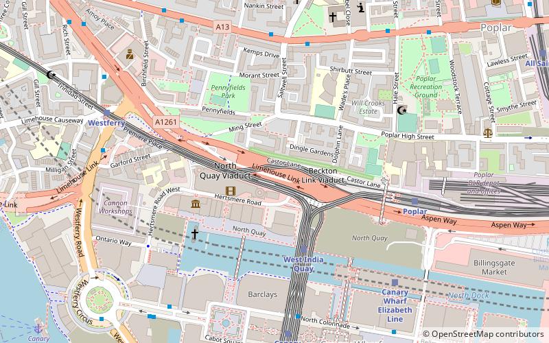
Map
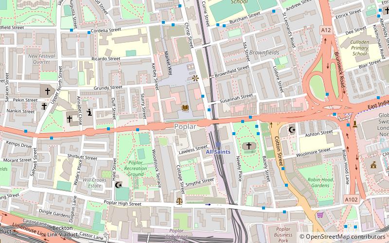
Map

Facts and practical information
Chrisp Street Market is the central marketplace and town centre of Poplar and is located in the London Borough of Tower Hamlets. It was the first purpose-built pedestrian shopping area in the United Kingdom, rebuilt as part of the 1951 Festival of Britain and is directly connected onto the high street, East India Dock Road. ()
Coordinates: 51°30'40"N, 0°0'51"W
Day trips
Chrisp Street Market – popular in the area (distance from the attraction)
Nearby attractions include: One Canada Square, The Grapes, A Slice of Reality, Museum of London Docklands.
Frequently Asked Questions (FAQ)
Which popular attractions are close to Chrisp Street Market?
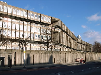
Nearby attractions include Poplar Recreation Ground Memorial, London (4 min walk), St Matthias Old Church, London (4 min walk), Robin Hood Gardens, London (7 min walk), Balfron Tower, London (8 min walk).
How to get to Chrisp Street Market by public transport?
The nearest stations to Chrisp Street Market:
Bus
Light rail
Metro
Ferry
Train
Bus
- Chrisp Street Market • Lines: D6 (1 min walk)
- Bazely Street • Lines: D6 (3 min walk)
Light rail
- All Saints Platform 1 • Lines: S-L (2 min walk)
- Langdon Park Platform 2 • Lines: S-L (7 min walk)
Metro
- Canary Wharf • Lines: Jubilee (15 min walk)
- Bromley-By-Bow • Lines: District, Hammersmith & City (24 min walk)
Ferry
- Canary Wharf • Lines: Rb1, Rb1X, Rb4, Rb6 (20 min walk)
- Doubletree Docklands Nelson Dock • Lines: Rb4 (23 min walk)
Train
- Canning Town (25 min walk)
- Limehouse (28 min walk)

 Tube
Tube