London Borough of Tower Hamlets, London
Map
Gallery
Facts and practical information
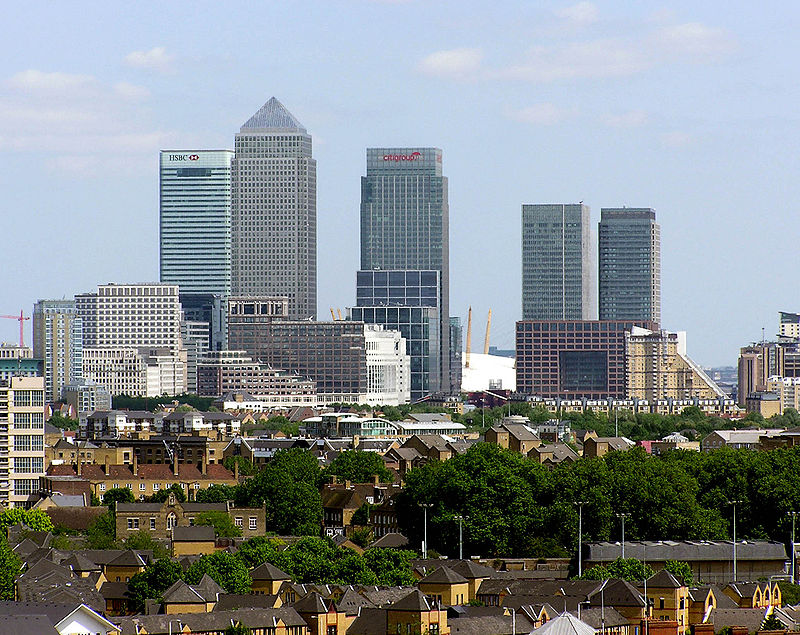
The London Borough of Tower Hamlets is a London borough covering much of the traditional East End. It was formed in 1965 from the merger of the former metropolitan boroughs of Stepney, Poplar, and Bethnal Green. 'Tower Hamlets' was originally an alternative name for the historic Tower Division; the area of south-east Middlesex, focused on the area of the modern borough, which owed military service to the Tower of London. ()
Day trips
London Borough of Tower Hamlets – popular in the area (distance from the attraction)
Nearby attractions include: Whitechapel Road, Limehouse Basin, Tobacco Dock, King Edward Memorial Park.
Frequently Asked Questions (FAQ)
Which popular attractions are close to London Borough of Tower Hamlets?
Nearby attractions include Stepney Green Park, London (5 min walk), Arbour Square, London (5 min walk), St Dunstan's, London (10 min walk), East London Central Synagogue, London (12 min walk).
How to get to London Borough of Tower Hamlets by public transport?
The nearest stations to London Borough of Tower Hamlets:
Bus
Metro
Light rail
Train
Ferry
Bus
- Stepney Green School • Lines: 309 (9 min walk)
- Cavell Street • Lines: 106 (9 min walk)
Metro
- Stepney Green • Lines: District, Hammersmith & City (10 min walk)
- Whitechapel • Lines: District, Hammersmith & City (13 min walk)
Light rail
- Shadwell Platform 1 • Lines: B-L, B-Wa, Tg-B (11 min walk)
- Limehouse Platform 3 • Lines: B-L, B-Wa, Tg-B (15 min walk)
Train
- Shadwell (13 min walk)
- Limehouse (14 min walk)
Ferry
- Doubletree Docklands Nelson Dock • Lines: Rb4 (30 min walk)
- Canary Wharf • Lines: Rb1, Rb1X, Rb4, Rb6 (31 min walk)



 Tube
Tube


