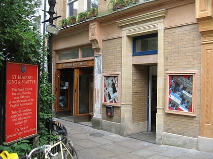
Corn Exchange Street, Cambridge
Map
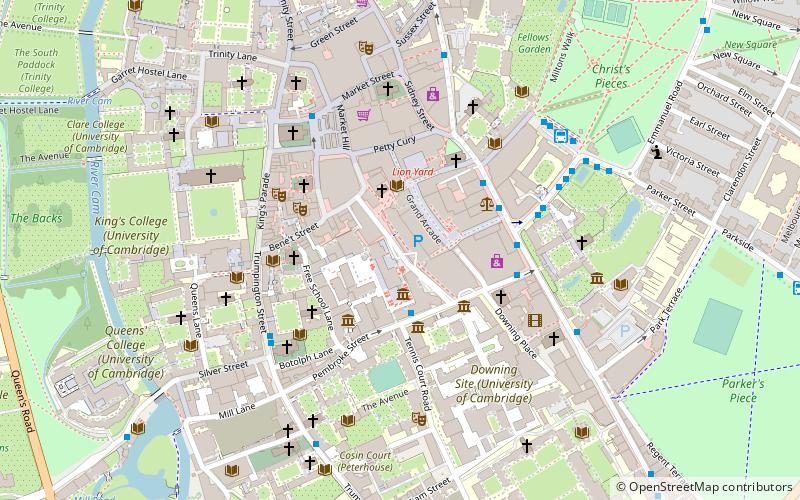
Map

Facts and practical information
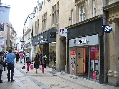
Corn Exchange Street is a street in central Cambridge, England. It runs between Wheeler Street to the northwest and Downing Street to the southeast. To the northeast, Guildhall Place, a cul-de-sac, runs parallel with Corn Exchange Street at the northern end, an extension of Guildhall Street. ()
Coordinates: 52°12'14"N, 0°7'14"E
Address
MarketCambridge
ContactAdd
Social media
Add
Day trips
Corn Exchange Street – popular in the area (distance from the attraction)
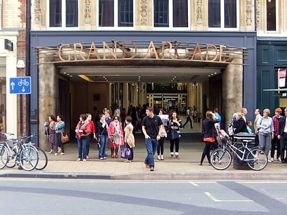
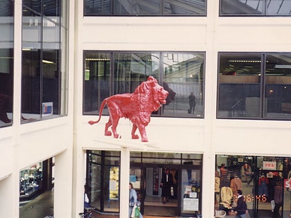
Nearby attractions include: Petty Cury, Grand Arcade, Lion Yard, Corpus Clock.
Frequently Asked Questions (FAQ)
Which popular attractions are close to Corn Exchange Street?
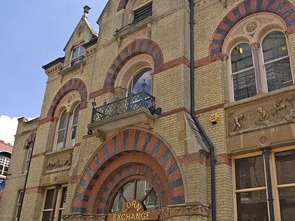
Nearby attractions include Museum of Zoology, Cambridge (1 min walk), Cambridge Corn Exchange, Cambridge (2 min walk), New Museums Site, Cambridge (2 min walk), Cambridge University Catholic Chaplaincy, Cambridge (2 min walk).
How to get to Corn Exchange Street by public transport?
The nearest stations to Corn Exchange Street:
Bus
Train
Bus
- St Andrew's Street S1 • Lines: Citi 1 (3 min walk)
- St Andrew's Street S2 • Lines: 14 (3 min walk)
Train
- Cambridge (25 min walk)

