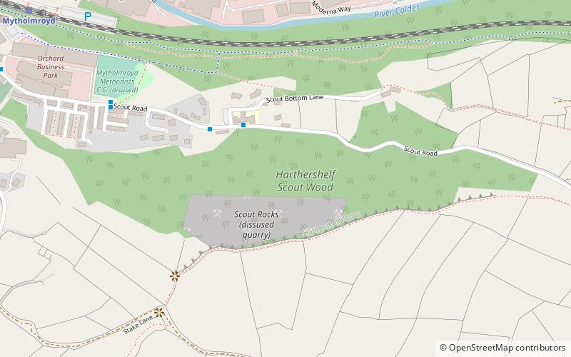
Scout Rock, Mytholmroyd
Map

Map

Facts and practical information
Scout Rock, is a rock face, once a quarry, cut into a hill called Hathershelf Scout and is on the south side of the Upper Calder Valley in the village of Mytholmroyd near Hebden Bridge, England. At its height, the cliff rises 130m above the village and the exposed rock face is visible from as far as Chiserley and Luddendenfoot. The majority of the rock face is now covered in vegetation. Hathershelf Forest is situated at the base of the cliff, and a large beacon stands around half way up the hill on the western side of the cliff face. ()
Coordinates: 53°43'34"N, 1°58'27"W
Day trips
Scout Rock – popular in the area (distance from the attraction)
Nearby attractions include: Rochdale Canal, Hebden Bridge Picture House, Stoodley Pike, Shroggs Park.


