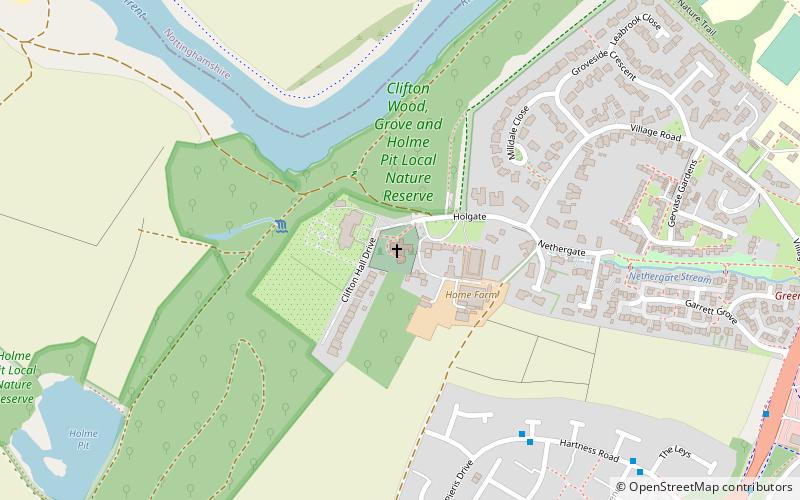
St Mary's Church, Nottingham
Map

Map

Facts and practical information
St Mary's Church is a parish church in the Church of England in Clifton, Nottinghamshire. ()
Coordinates: 52°54'29"N, 1°11'49"W
Day trips
St Mary's Church – popular in the area (distance from the attraction)
Nearby attractions include: St John the Baptist Church, Beeston, Chilwell Road Methodist Church, Queen's Road Methodist Church.
Frequently Asked Questions (FAQ)
How to get to St Mary's Church by public transport?
The nearest stations to St Mary's Church:
Bus
Tram
Train
Bus
- The Crusader • Lines: 53, S1 (8 min walk)
- Crusader Island • Lines: 1, N4, S1 (10 min walk)
Tram
- Clifton South • Lines: 2 (21 min walk)
- Summerwood Lane • Lines: 2 (22 min walk)
Train
- Beeston (26 min walk)


