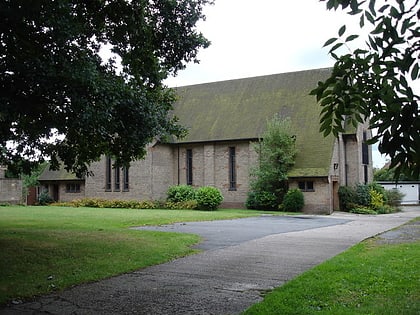
Queen's Road Methodist Church, Nottingham
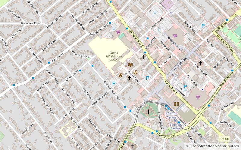
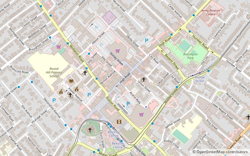
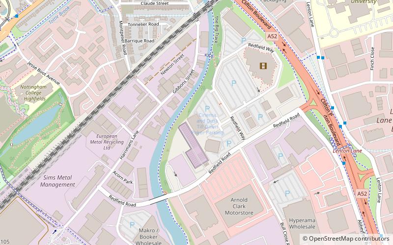
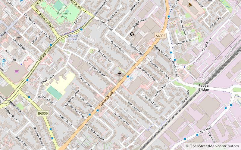
Map
Gallery

Facts and practical information
Queen's Road Methodist Church was a Methodist church in Beeston, Nottinghamshire ()
Completed: 1900 (126 years ago)Architectural style: Gothic revivalCoordinates: 52°55'34"N, 1°12'20"W
Day trips
Queen's Road Methodist Church – popular in the area (distance from the attraction)
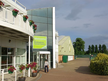
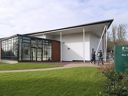
Nearby attractions include: Highfields Park, Nottingham Tennis Centre, Beeston Town Hall, Nottingham New Theatre.
Frequently Asked Questions (FAQ)
Which popular attractions are close to Queen's Road Methodist Church?
Nearby attractions include High Road, Attenborough Nature Reserve (10 min walk), War Memorial Cross, Nottingham (11 min walk), St John the Baptist Church, Nottingham (12 min walk), Beeston, Nottingham (12 min walk).
How to get to Queen's Road Methodist Church by public transport?
The nearest stations to Queen's Road Methodist Church:
Bus
Tram
Train
Bus
- Hawthorn Grove • Lines: Skylink (1 min walk)
- Alexandra Crescent • Lines: Skylink (4 min walk)
Tram
- Middle Street • Lines: 1 (5 min walk)
- Beeston Centre • Lines: 1 (10 min walk)
Train
- Beeston (10 min walk)


