All Saints, Wolverhampton
Map
Facts and practical information
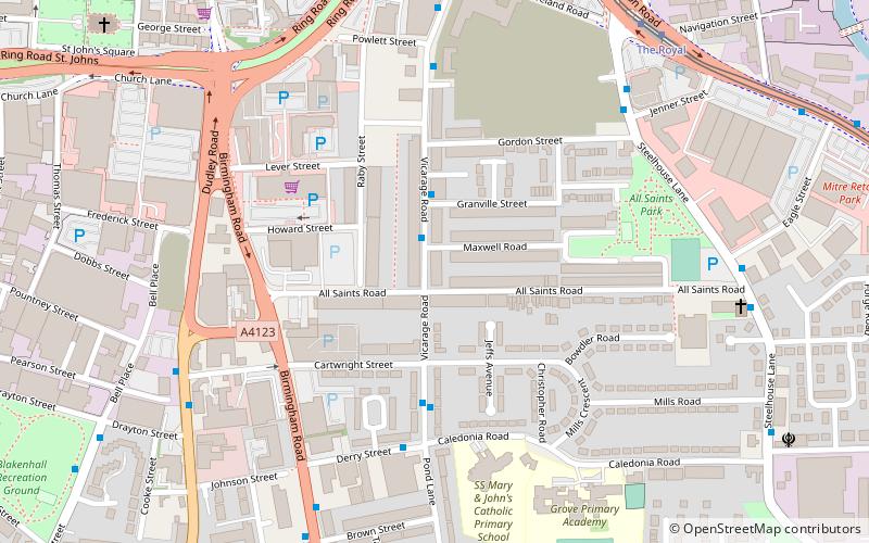
All Saints is an inner city area of Wolverhampton, West Midlands, England. It is situated immediately to the south-east of the city centre, in the city council's Ettingshall ward. ()
Elevation: 535 ft a.s.l.Coordinates: 52°34'42"N, 2°7'17"W
Address
EttingshallWolverhampton
ContactAdd
Social media
Add
Getting there by public transportation
Public transportation stops near this location
- Bus
- Tram
- Train
 Bus
Bus
- Calculate routeVicarage Rd / Granville Street 2 min walk
- Calculate routeDerry St / Vicarage Rd 4 min walk
- Calculate routeThe Royal 7 min walk
- Calculate routeWolverhampton St Georges 11 min walk
- Calculate routePriestfield 28 min walk
- Calculate routeWolverhampton 17 min walk
Day trips


Frequently Asked Questions (FAQ)
Which popular attractions are close to All Saints?
Nearby attractions include St Mary and St John Church, Wolverhampton (8 min walk), St George's Church, Wolverhampton (9 min walk), St John's Church, Wolverhampton (10 min walk), St Luke's Church, Wolverhampton (14 min walk).
How to get to All Saints by public transport?
The nearest stations to All Saints:
Bus
Tram
Train
Bus
- Vicarage Rd / Granville Street • Lines: 52, 81 (2 min walk)
- Derry St / Vicarage Rd • Lines: 81 (4 min walk)
Tram
- The Royal • Lines: 1 (7 min walk)
- Wolverhampton St Georges • Lines: 1 (11 min walk)
Train
- Wolverhampton (17 min walk)