Loynton Moss
Map

Map

Facts and practical information
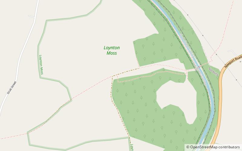
Loynton Moss is a nature reserve of the Staffordshire Wildlife Trust, near the village of Woodseaves, in Staffordshire, England. It is adjacent to the Shropshire Union Canal, as it runs from nearby Norbury to High Offley. ()
Elevation: 371 ft a.s.l.Coordinates: 52°49'7"N, 2°19'7"W
Location
England
ContactAdd
Social media
Add
Day trips
Loynton Moss – popular in the area (distance from the attraction)
Nearby attractions include: Norbury Junction, Holy Trinity Church, St Lawrence's Church, Aqualate Mere.


