Way for the Millennium
#3109 among destinations in the United Kingdom
![Way for the Millennium location map](https://tzmedia.b-cdn.net/media/images/static-maps/gb/52_7656_-2_3179.jpg)
Facts and practical information
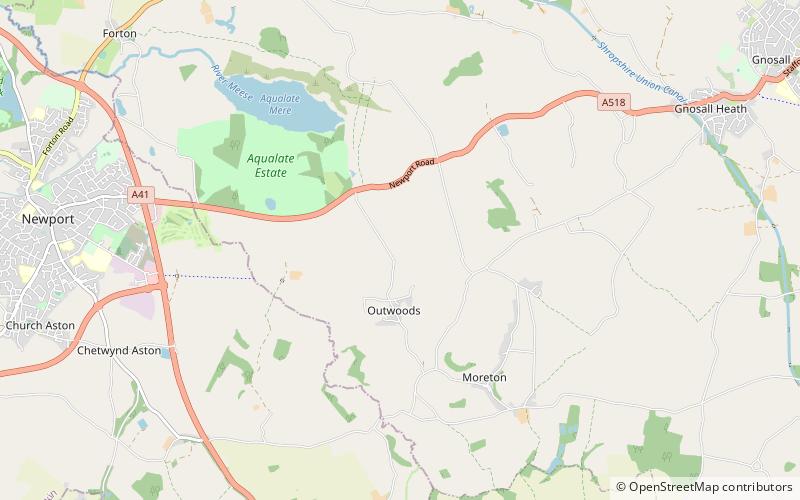
The Way for the Millennium is an east–west route across Staffordshire, deliberately designed for easy walking, using towpaths, old railway lines and footpaths and visiting attractive countryside and green spaces. ()
EnglandUnited Kingdom
Way for the Millennium plan & book
Unleash the traveler in you — discover the cheapest flight deals, find the perfect hotel or hostel nearby, and search for the best car rental prices. Travel at your own pace to discover new places and enjoy your journey.
Way for the Millennium – popular in the area (distance from the attraction)
Nearby attractions include: Norbury Junction, Weston Park, St Lawrence's Church, St Mary's Church.
2.6 miNCanalNorbury Junction, Stafford
67 min walk • Norbury Junction is a canal junction which lies about 1 mile to the south east of Norbury, in Staffordshire, England. It opened in 1835, and closed in 1944, although the main line of the Shropshire Union Canal still runs through it.
5.6 miSLavish country house and renowned gardensWeston Park
143 min walk • Weston Park is a country house in Weston-under-Lizard, Staffordshire, England, set in more than 1,000 acres of park landscaped by Capability Brown. The park is located 10 miles north-west of Wolverhampton, and 8 miles north-east of Telford, close to the border with Shropshire.
3 miNEChurchSt Lawrence's Church
78 min walk • St Lawrence's Church is an Anglican church in Gnosall, Staffordshire, England. It is a Grade I listed building. The earliest parts of the church are of Norman architecture; it was later much modified. The church is unusual in having a central tower.
4.2 miSChurchSt Mary's Church
109 min walk • St. Mary's Church, Blymhill is an Anglican church in the village of Blymhill, Staffordshire, England. The building, which is a Grade I listed building, was constructed in the 14th century and restored and extended in the 18th and 19th centuries.
1.4 miNWNature, Natural attraction, LakeAqualate Mere, Newport
35 min walk • Aqualate Mere, in Staffordshire, is the largest natural lake in the English Midlands and is managed as a national nature reserve by Natural England.
2.5 miWCity hallNewport Guildhall, Newport
65 min walk • Newport Guildhall is a large timber-framed municipal building in Newport, Shropshire, England. It is a Grade II* listed building.
4.1 miWChurch, ArchitectureSt Peter
105 min walk • St. Peter's Church is in the village of Edgmond, Shropshire, England. The church is an active Anglican parish church in the deanery of Edgmond and Shifnal, the archdeaconry of Salop, and the diocese of Lichfield.
2.6 miWMemorialPuleston Cross, Newport
66 min walk • The Puleston Cross is a Butter cross in the market town of Newport, Shropshire The Cross sits in Middle Row, formerly Rotten Row, and denotes the market place.
3.5 miSWMonasteryLilleshall Hall
90 min walk • Lilleshall Hall is a large former country house and estate in the fields of Lilleshall, Shropshire, England. It is run by Serco Leisure Operating Ltd on behalf of Sport England as one of three National Sports Centres, alongside Bisham Abbey and Plas y Brenin. It lies between Telford and Newport.
4.7 miNENational parkDoxey Marshes
120 min walk • Doxey Marshes is a 150 hectares nature reserve located within two miles of Stafford town centre, and is managed by Staffordshire Wildlife Trust.
2.6 miWChurchSt Nicholas Church, Newport
66 min walk • St Nicholas's Church is an Anglican church in the market town of Newport, Shropshire, England lying within the Diocese of Lichfield. It is dedicated to St Nicholas, the patron saint of fishermen. The church is a Grade II* listed building. It is of Early English and Perpendicular architecture.