Loch of Aboyne

Gallery (1)
Map
Map
Facts and practical information
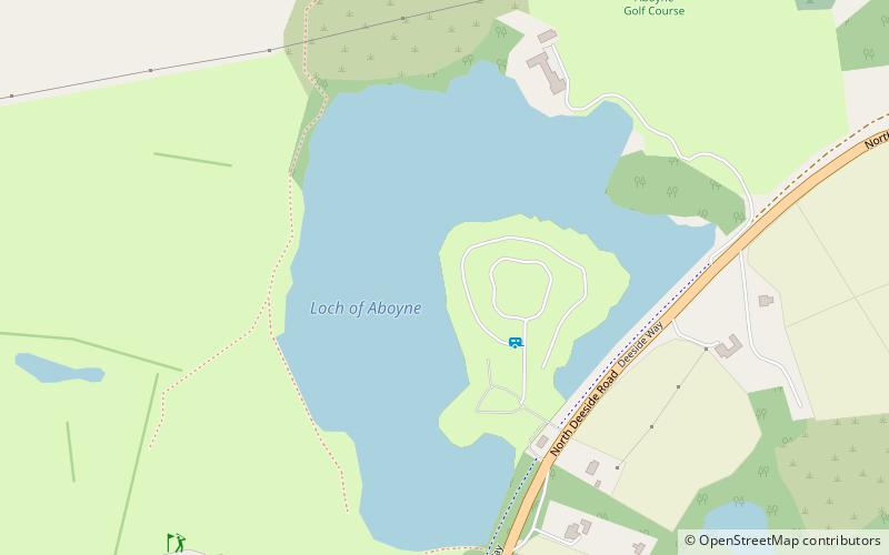
Loch of Aboyne is a shallow, artificial formed, freshwater loch in Grampian, Scotland. It lies 1+1⁄4 miles northeast of Aboyne and 26 miles west-southwest of Aberdeen. An earthen dam was constructed around 1834 to retain the loch. It also served as a reservoir for a nearby mill. ()
Maximum depth: 11 ftElevation: 453 ft a.s.l.Coordinates: 57°5'13"N, 2°45'57"W
Location
Aboyne, Royal DeesideScotland
ContactAdd
Social media
Add
Day trips


