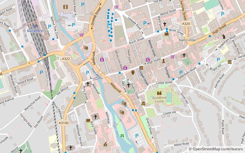
Wey South Path, Guildford
Map

Map

Facts and practical information
The Wey South Path is a Long Distance Path in Surrey and West Sussex, England. For part of its 32-mile route it follows the banks of the River Wey and of the Wey and Arun Canal. ()
Coordinates: 51°14'6"N, 0°34'30"W
Address
Holy TrinityGuildford
ContactAdd
Social media
Add
Day trips
Wey South Path – popular in the area (distance from the attraction)
Nearby attractions include: Guildford Lido, The Undercroft, Guildford Castle, Guildford Cathedral.
Frequently Asked Questions (FAQ)
Which popular attractions are close to Wey South Path?
Nearby attractions include The Undercroft, Guildford (2 min walk), Yvonne Arnaud Theatre, Guildford (3 min walk), Guildford Museum, Guildford (3 min walk), St Nicolas Church, Guildford (3 min walk).
How to get to Wey South Path by public transport?
The nearest stations to Wey South Path:
Bus
Train
Bus
- Millbrook • Lines: 24, 32, 53, 63, 63X (3 min walk)
- The Mount • Lines: 200, 42 (4 min walk)
Train
- Guildford (8 min walk)
- London Road (15 min walk)


