Worth Way

Gallery (1)
Map
Map
Facts and practical information
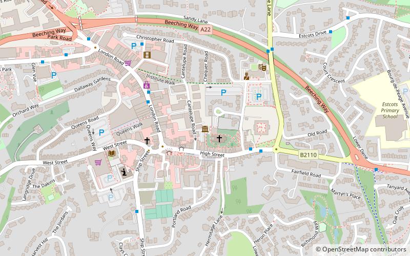
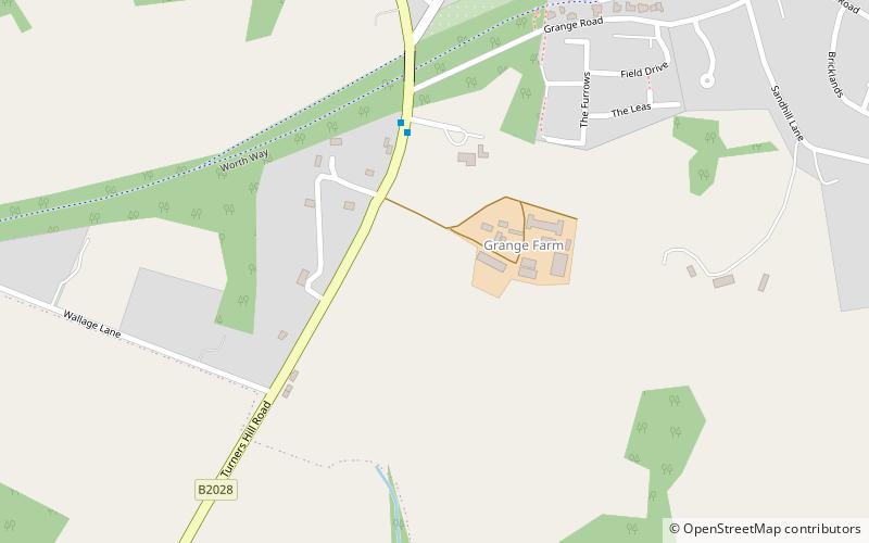
The Worth Way is a 7-mile footpath and bridleway linking the West Sussex towns of Crawley and East Grinstead via the village of Crawley Down. Mostly following the trackbed of a disused railway the path is an important wildlife corridor. It is part of the National Cycle Network. ()
Length: 7 miCoordinates: 51°7'0"N, 0°4'60"W
Location
England
ContactAdd
Social media
Add
Day trips