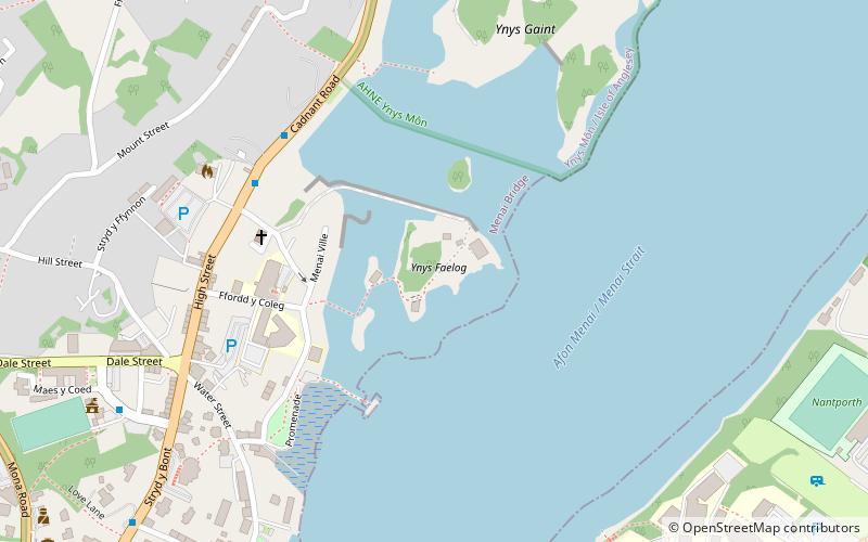
Ynys Faelog, Menai Bridge
Map

Map

Facts and practical information
Ynys Faelog is a small tidal island in the Menai Strait between Gwynedd and the Isle of Anglesey, Wales, near the town of Menai Bridge. On average it measures 140 metres by 130 metres and is connected by a narrow stone causeway to the Anglesey mainland. There is a two-storey house on the island with three outbuildings and a boathouse. ()
Coordinates: 53°13'37"N, 4°9'29"W
Address
Menai Bridge
ContactAdd
Social media
Add
Day trips
Ynys Faelog – popular in the area (distance from the attraction)
Nearby attractions include: Menai Suspension Bridge, Britannia Bridge, St Tysilio's Church, Bangor University.
Frequently Asked Questions (FAQ)
Which popular attractions are close to Ynys Faelog?
Nearby attractions include Glannau Porthaethwy, Menai Bridge (2 min walk), Oriel Tegfryn, Menai Bridge (5 min walk), Ynys Gaint, Menai Bridge (6 min walk), Canolfan Thomas Telford Centre, Menai Bridge (10 min walk).
How to get to Ynys Faelog by public transport?
The nearest stations to Ynys Faelog:
Bus
Train
Bus
- Ffordd Belmont • Lines: T2 (17 min walk)
- Coleg Menai • Lines: T2 (17 min walk)
Train
- Bangor (25 min walk)


