South Foreland, Dover
Map

Map

Facts and practical information
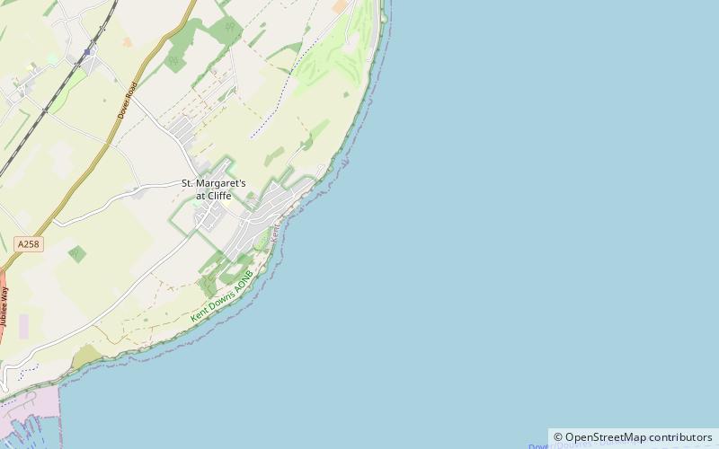
South Foreland is a chalk headland on the Kent coast of southeast England. It presents a bold cliff to the sea, and commands views over the Strait of Dover. It is centred 3 miles northeast of Dover and 15 miles south of North Foreland. It includes the closest point on the Island of Britain to the European mainland at a distance of 20.6 miles. ()
Address
Dover
ContactAdd
Social media
Add
Day trips
South Foreland – popular in the area (distance from the attraction)
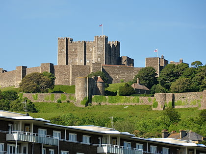
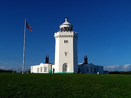
Nearby attractions include: Dover Castle, Walmer Castle, South Foreland Lighthouse, St Mary in Castro.


