Battery Rocks, Penzance
Map

Map

Facts and practical information
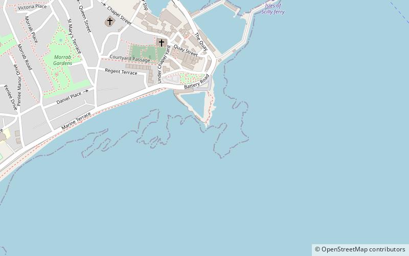
Battery Rocks are a rocky headland to the south of the harbour of Penzance, Cornwall, UK. ()
Coordinates: 50°6'51"N, 5°31'52"W
Address
Penzance
ContactAdd
Social media
Add
Day trips
Battery Rocks – popular in the area (distance from the attraction)
Nearby attractions include: Morrab Gardens, St Mary's Church, Penlee House, Morrab Library.
Frequently Asked Questions (FAQ)
Which popular attractions are close to Battery Rocks?
Nearby attractions include Trinity House National Lighthouse Museum, Penzance (4 min walk), St Mary's Church, Penzance (5 min walk), Morrab Library, Penzance (8 min walk), Morrab Gardens, Penzance (8 min walk).
How to get to Battery Rocks by public transport?
The nearest stations to Battery Rocks:
Bus
Train
Bus
- Green Market • Lines: 5, 8, A1 (11 min walk)
- Alexandra Inn • Lines: A1 (12 min walk)
Train
- Penzance (15 min walk)


