Didsbury Mosque, Manchester
Map

Map

Facts and practical information
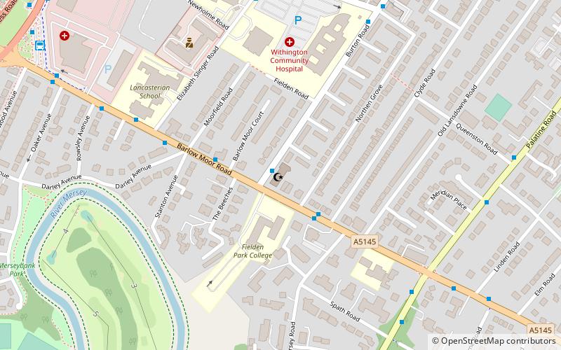
The Didsbury Mosque, and the Manchester Islamic Centre, are co-located on Burton Road, West Didsbury, in Manchester, England. The building was originally the "Albert Park Methodist Chapel", which opened for worship in 1883, but in 1962 the chapel closed and was later converted into a mosque. It has an attendance of around 1,000 people. The mosque Sheikh is Mustafa Abdullah Graf. ()
Capacity: 950Coordinates: 53°25'22"N, 2°14'48"W
Day trips
Didsbury Mosque – popular in the area (distance from the attraction)
Nearby attractions include: Chorlton-cum-Hardy Golf Club, Didsbury Campus, Fletcher Moss Botanical Garden, Southern Cemetery.
Frequently Asked Questions (FAQ)
Which popular attractions are close to Didsbury Mosque?
Nearby attractions include Christ Church, Manchester (11 min walk), Southern Cemetery, Manchester (18 min walk), Wilmslow Road bus corridor, Manchester (24 min walk), Wilmslow Road, Manchester (24 min walk).
How to get to Didsbury Mosque by public transport?
The nearest stations to Didsbury Mosque:
Bus
Tram
Train
Bus
- West Didsbury, Barlow Moor Road / opposite Clyde Road • Lines: 23 (2 min walk)
Tram
- West Didsbury • Lines: EDid, Roch, Shaw (12 min walk)
- Burton Road • Lines: EDid, Roch, Shaw (13 min walk)
Train
- East Didsbury (36 min walk)

 Metrolink
 Metrolink / Rail


