Wilmslow Road, Manchester

Gallery (4)
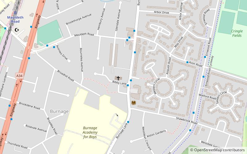
Map

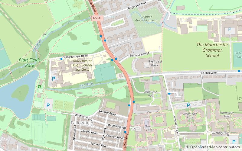
Map
Gallery
Facts and practical information
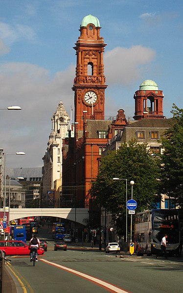
Wilmslow Road is a major road in Manchester, England, running from Parrs Wood northwards to Rusholme. There it becomes Oxford Road and the name changes again to Oxford Street when it crosses the River Medlock and reaches the city centre. ()
Coordinates: 53°25'44"N, 2°13'37"W
Address
Didsbury EastManchester
ContactAdd
Social media
Add
Getting there by public transportation
Public transportation stops near this location
- Bus
- Tram
- Train
 Bus
Bus
- Calculate routeThe Christie, Wilmslow Road / The Christie 2 min walk
- Calculate routeWithington, Wilmslow Road / Withington St Paul's 7 min walk
- Calculate routeWest Didsbury 13 min walk
- Calculate routeBurton Road 15 min walk
- Calculate routeDidsbury Village 22 min walk
- Calculate routeWithington 25 min walk
- Calculate routeBurnage 18 min walk
- Calculate routeMauldeth Road 21 min walk
Maps MetrolinkMaps
 Metrolink / Rail
MetrolinkMapsMetrolink / RailDay trips


Frequently Asked Questions (FAQ)
Which popular attractions are close to Wilmslow Road?
Nearby attractions include Wilmslow Road bus corridor, Manchester (1 min walk), Ladybarn, Manchester (18 min walk), Church of St Nicholas, Manchester (21 min walk), Didsbury Mosque, Manchester (24 min walk).
How to get to Wilmslow Road by public transport?
The nearest stations to Wilmslow Road:
Bus
Tram
Train
Bus
- The Christie, Wilmslow Road / The Christie • Lines: 42, 42B, 42C (2 min walk)
- Withington, Wilmslow Road / Withington St Paul's • Lines: 42, 42B, 42C (7 min walk)
Tram
- West Didsbury • Lines: EDid, Roch, Shaw (13 min walk)
- Burton Road • Lines: EDid, Roch, Shaw (15 min walk)
Train
- Burnage (18 min walk)
- Mauldeth Road (21 min walk)