West Port, Edinburgh
Map
Gallery
Facts and practical information
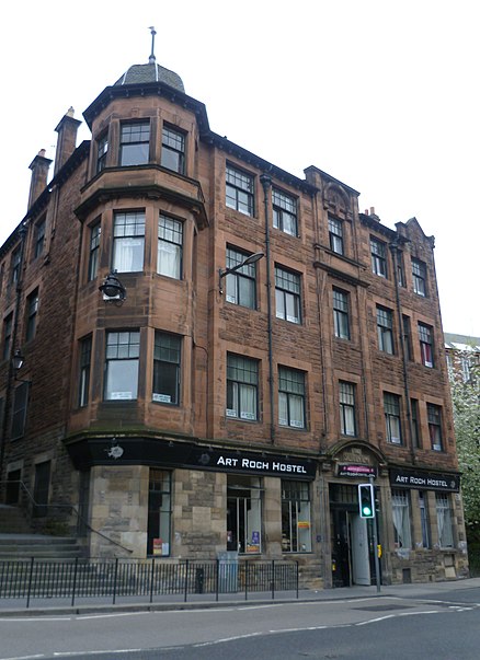
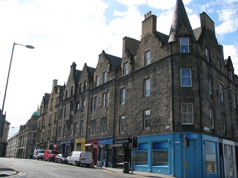
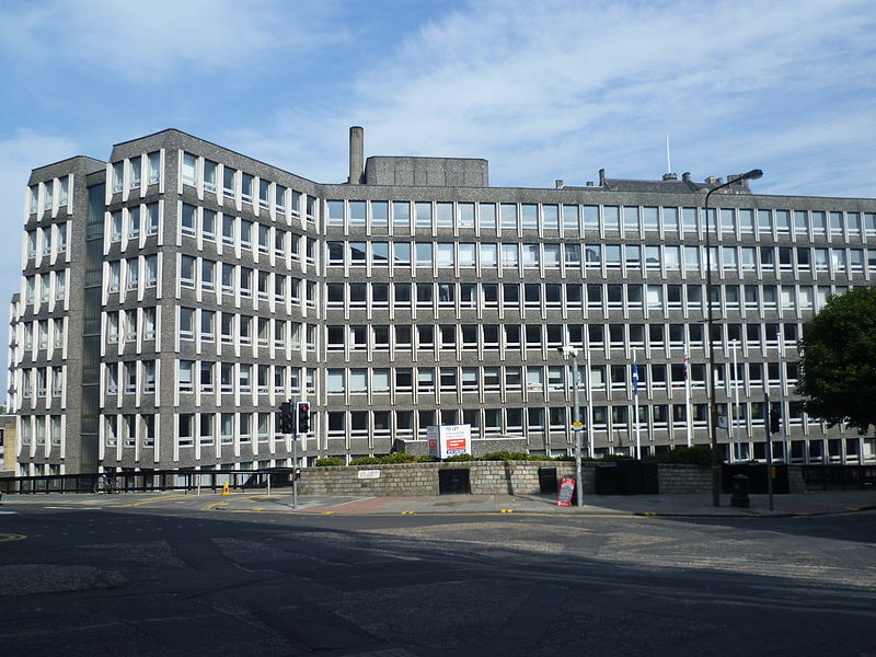
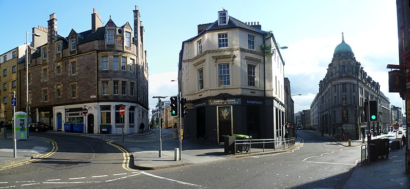
The West Port is a street in Edinburgh's Old Town, Scotland, located just south of Edinburgh Castle. It runs from Main Point down to the south west corner of the Grassmarket. Its name derives from the fact it sloped up from the town gate named the West Port, which was the only westwards exit from the city when the city walls stood, allowing passage through the Flodden Wall. The port itself was demolished in 1786. ()
Address
Old Town (Grassmarket)Edinburgh
ContactAdd
Social media
Add
Day trips
West Port – popular in the area (distance from the attraction)
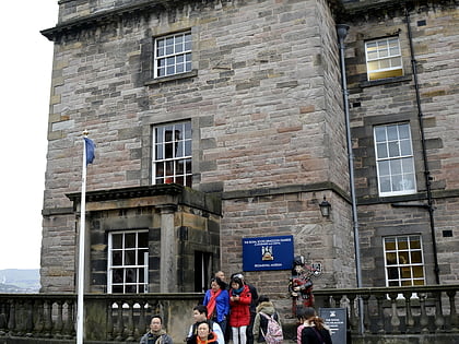
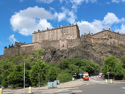
Nearby attractions include: Edinburgh Castle, Princes Street Gardens, Greyfriars Kirkyard, The Museum of the Royal Scots and the Royal Regiment of Scotland.
Frequently Asked Questions (FAQ)
Which popular attractions are close to West Port?
Nearby attractions include The Wee Red Bar, Edinburgh (3 min walk), Sacred Heart, Edinburgh (3 min walk), Flodden Wall, Edinburgh (4 min walk), Royal Scots Dragoon Guards Museum, Edinburgh (4 min walk).
How to get to West Port by public transport?
The nearest stations to West Port:
Bus
Tram
Train
Bus
- Chalmers Street • Lines: 23, 27, 47 (4 min walk)
- Glen Street • Lines: 23, 27, 47 (5 min walk)
Tram
- Princes Street • Lines: Edinburgh Trams Eastbound, Edinburgh Trams Westbound (10 min walk)
- West End • Lines: Edinburgh Trams Eastbound, Edinburgh Trams Westbound (13 min walk)
Train
- Edinburgh Waverley (14 min walk)
- Haymarket (19 min walk)


