24 Marsh Wall, London
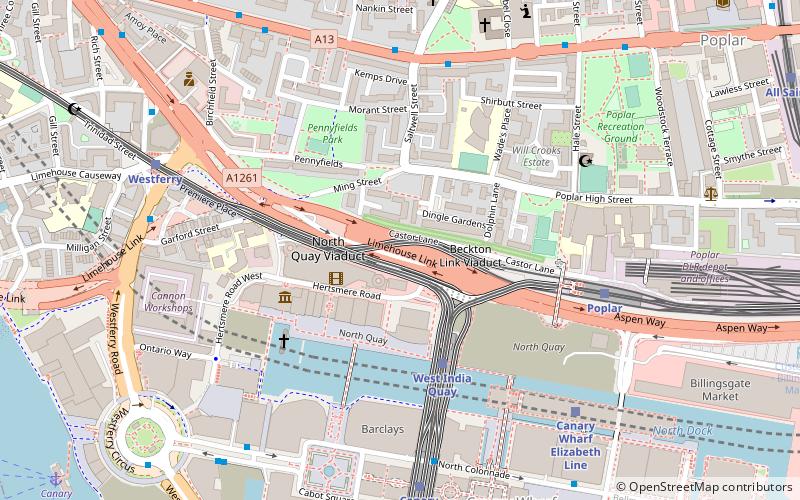
Map

Map

Facts and practical information
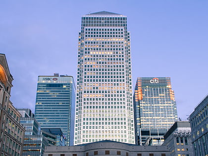
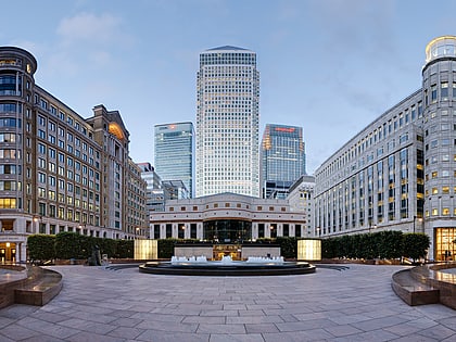
24 Marsh Wall, also known as Landmark East, is a 44-storey residential skyscraper in Docklands, London, which is among the tallest structures in the city. Landmark East is part of a broader residential neighbourhood, The Landmark, also comprising the 30 story Landmark West at 22 Marsh Wall, two adjacent mid-rise apartment buildings, and the Landmark Pinnacle. ()
Coordinates: 51°30'7"N, 0°1'31"W
Day trips
24 Marsh Wall – popular in the area (distance from the attraction)
Nearby attractions include: One Canada Square, The Grapes, Museum of London Docklands, Billingsgate Market.
Frequently Asked Questions (FAQ)
Which popular attractions are close to 24 Marsh Wall?
Nearby attractions include Landmark Pinnacle, London (2 min walk), 20 Bank Street, London (4 min walk), Canary Wharf Pier, London (8 min walk), Cabot Square, London (8 min walk).
How to get to 24 Marsh Wall by public transport?
The nearest stations to 24 Marsh Wall:
Bus
Light rail
Ferry
Metro
Train
Bus
- Cuba Street • Lines: 277, N277 (2 min walk)
- Marsh Wall / Heron Quay • Lines: 277, N277 (2 min walk)
Light rail
- Heron Quays Platform 1 • Lines: B-L, S-L (5 min walk)
- Canary Wharf Platforms 3 & 4 • Lines: S-L (8 min walk)
Ferry
- Canary Wharf • Lines: Rb1, Rb1X, Rb4, Rb6 (8 min walk)
- Doubletree Docklands Nelson Dock • Lines: Rb4 (9 min walk)
Metro
- Canary Wharf • Lines: Jubilee (8 min walk)
- Canada Water • Lines: Jubilee (28 min walk)
Train
- Limehouse (25 min walk)
- Surrey Quays (29 min walk)

 Tube
Tube