Addington Vale, Keston

Map
Facts and practical information
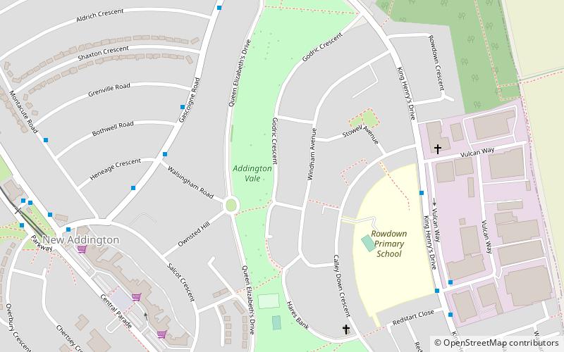
Addington Vale is a 48 acres park situated in New Addington in the London Borough of Croydon. The park extends from King Henrys Drive in the north to Arnhem Drive in the south. It is bordered by Queen Elizabeths Drive to the west and Godric Crescent and Hares Bank to the east. The nearest Tramlink station is New Addington. ()
Elevation: 459 ft a.s.l.Coordinates: 51°20'38"N, 0°0'37"W
Address
Croydon (New Addington)Keston
ContactAdd
Social media
Add
Day trips
Addington Vale – popular in the area (distance from the attraction)
Nearby attractions include: Addington Palace, St Mary the Virgin, Millers Pond, Shirley Windmill.
Frequently Asked Questions (FAQ)
Which popular attractions are close to Addington Vale?
Nearby attractions include New Addington Library, Keston (8 min walk), Hutchinson's Bank, London (15 min walk).


