Bramley Bank, Warlingham
Map

Map

Facts and practical information
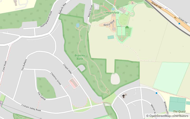
Bramley Bank is a 10.3 hectare local nature reserve in Upper Shirley in the London Borough of Croydon. It is owned by Croydon Council and managed by the London Wildlife Trust. ()
Elevation: 463 ft a.s.l.Coordinates: 51°21'16"N, 0°3'31"W
Address
Croydon (Selsdon and Ballards)Warlingham
ContactAdd
Social media
Add
Day trips
Bramley Bank – popular in the area (distance from the attraction)
Nearby attractions include: Addington Palace, Shirley Windmill, Croham Hurst, Selsdon Wood.
Frequently Asked Questions (FAQ)
Which popular attractions are close to Bramley Bank?
Nearby attractions include Littleheath Woods, Warlingham (10 min walk), Addington Hills, London (16 min walk), Coombe Wood, Warlingham (17 min walk), Selsdon, Warlingham (17 min walk).
How to get to Bramley Bank by public transport?
The nearest stations to Bramley Bank:
Bus
Tram
Bus
- St Francis Church • Lines: 359 (5 min walk)
- Shepherds Way • Lines: 359 (7 min walk)
Tram
- Coombe Lane • Lines: 3 (10 min walk)
- Gravel Hill • Lines: 3 (18 min walk)


