Alvaston, Derby
Map
Gallery
Facts and practical information
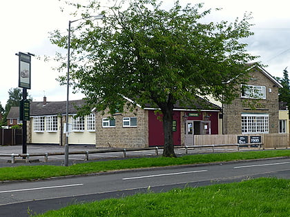
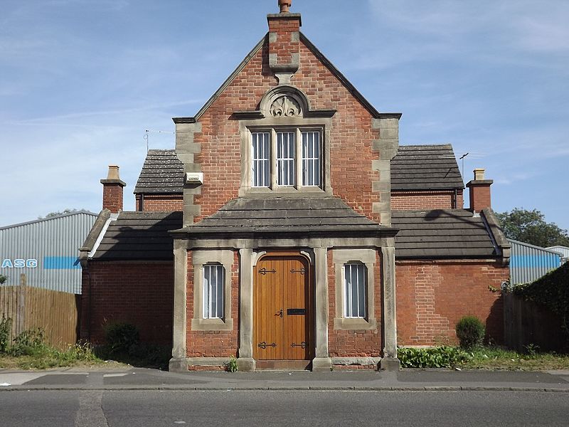
Alvaston is a village and ward of Derby, England. Alvaston is situated on the A6, three miles south-east of Derby city centre and probably owes its name to Allwald. It is bordered to the north by the wards of Derwent, Chaddesden and Spondon, to the west is the City Centre, to the south are Sinfin and Chellaston and to the east the district of South Derbyshire. ()
Address
AlvastonDerby
ContactAdd
Social media
Add
Day trips
Alvaston – popular in the area (distance from the attraction)
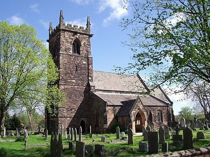
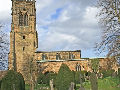
Nearby attractions include: Pride Park Stadium, Derby Arena, Elvaston Castle, St Osmund's Church.
Frequently Asked Questions (FAQ)
How to get to Alvaston by public transport?
The nearest stations to Alvaston:
Bus
Train
Bus
- Walnut Avenue • Lines: 1 (3 min walk)
- Kelmoor Road • Lines: 1, 1A (4 min walk)
Train
- Spondon (29 min walk)
