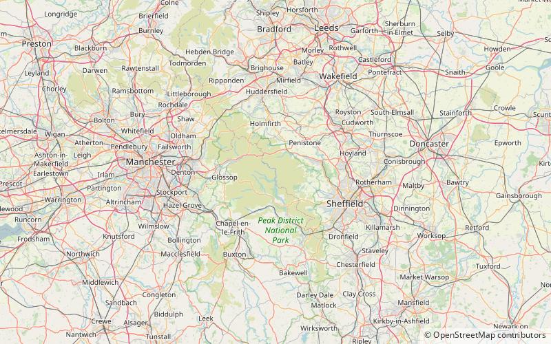
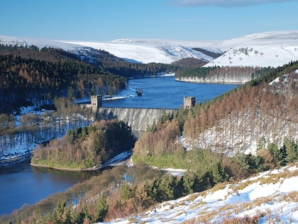
Derwent Bridge, Peak District
#18 among attractions in Peak District

Facts and practical information
Derwent was a village 'drowned' in 1944 when the Ladybower Reservoir in Derbyshire, England was created. The village of Ashopton, Derwent Woodlands church and Derwent Hall were also 'drowned' in the construction of the reservoir. ()
Peak District United Kingdom
Derwent Bridge – popular in the area (distance from the attraction)
Nearby attractions include: Derwent Reservoir, Howden Reservoir, Bleaklow, Derwent Edge.
 Nature, Natural attraction, Lake
Derwent Reservoir, Peak District
70 min walk • Derwent Reservoir is the middle of three reservoirs in the Upper Derwent Valley in the north of Derbyshire, England. It lies approximately 10 miles from Glossop and 10 miles from Sheffield.
 Nature, Natural attraction, Lake
Howden Reservoir, Peak District
35 min walk • The Howden Reservoir is a Y-shaped reservoir, the uppermost of the three in the Upper Derwent Valley, England. The western half of the reservoir lies in Derbyshire and the eastern half is in Sheffield, South Yorkshire; the county border runs through the middle of the reservoir, following the original path of the River Derwent.
 Nature, Natural attraction, Mountain
Bleaklow, Crowden-in-Longdendale
119 min walk • Bleaklow is a high, largely peat-covered, gritstone moorland in the Derbyshire High Peak near the town of Glossop. It is north of Kinder Scout, across the Snake Pass, and south of the A628 Woodhead Pass.
 Nature, Natural attraction, Hill
Derwent Edge, Peak District
83 min walk • Derwent Edge is a Millstone Grit escarpment that lies above the Upper Derwent Valley in the Peak District National Park in the English county of Derbyshire. An Ordnance Survey column marks the highest point of the Edge at Back Tor. North of Back Tor the edge extends into Howden Edge and enters the county of South Yorkshire.
 Nature, Lake, Reservoir
Langsett Reservoir, Barnsley
98 min walk • Langsett Reservoir is in Yorkshire, England, near the villages of Langsett and Upper Midhope, on the edge of the Peak District National Park. The reservoir was constructed between 1898 and 1904, and is now managed by Yorkshire Water.
 Nature, Natural attraction, Hill
Margery Hill, Peak District
33 min walk • Margery Hill is a 546-metre hill on the Howden Moors in South Yorkshire, England. It lies towards the northern boundary of the Peak District National Park, between Langsett Reservoir to the northeast and Howden Reservoir to the southwest.
 Nature, Natural attraction, Mountain
Lost Lad, Peak District
76 min walk • Lost Lad is a hill, 518 metres high on the Derwent Edge in the Peak District in the county of Derbyshire in England. It is a subpeak of Back Tor.
 Nature, Natural attraction, Lake
Strines Reservoir, Peak District
124 min walk • Strines Reservoir is a water storage reservoir situated at 53.4099°N 1.6557°W, 8 miles west of the centre of Sheffield in South Yorkshire, England.
 Nature, Natural attraction, Valley
Bradfield Dale, Peak District
131 min walk • Bradfield Dale is a rural valley 12 kilometres west-northwest of the City of Sheffield in England. The valley stands within the north-eastern boundary of the Peak District National Park just west of the village of Low Bradfield.
 Church
St James' Church, Sheffield
124 min walk • St James’ Church, Midhopestones is situated in the small rural hamlet of Midhopestones, just within the northern boundary of the City of Sheffield in South Yorkshire. Since April 1969 it has been a Grade II* listed building.
 Nature, Natural attraction, Hill
High Stones, Peak District
34 min walk • High Stones, at 548 metres, is the highest point within the boundaries of both Sheffield and South Yorkshire, England. Lying within the City of Sheffield, it is also the highest natural point above sea level in any English city.