Annabel's, London
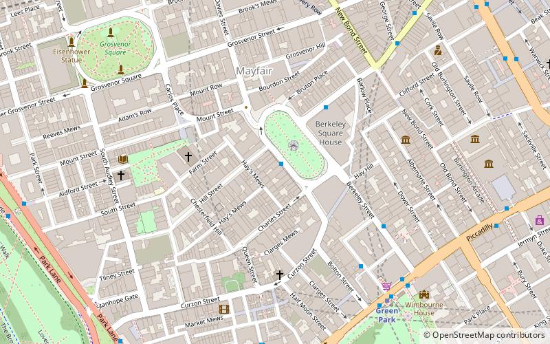
Map
Facts and practical information
Annabel's is a private members club in Mayfair, London, located at 46 Berkeley Square. ()
Coordinates: 51°30'33"N, 0°8'47"W
Address
46 Berkeley SquareCity of Westminster (West End)London
Contact
+44 20 7629 1096
Social media
Add
Day trips
Annabel's – popular in the area (distance from the attraction)
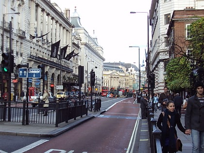
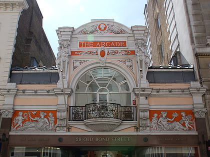
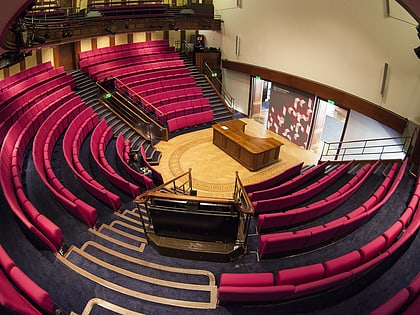
Nearby attractions include: Piccadilly, The Royal Arcade, Bruton Street, Royal Institution.
Frequently Asked Questions (FAQ)
Which popular attractions are close to Annabel's?
Nearby attractions include 50 Berkeley Square, London (1 min walk), Berkeley Square, London (2 min walk), Church of the Immaculate Conception, London (4 min walk), Mayfair, London (4 min walk).
How to get to Annabel's by public transport?
The nearest stations to Annabel's:
Bus
Metro
Train
Ferry
Bus
- Green Park Station • Lines: 38, N38 (6 min walk)
- Old Bond Street / Royal Academy • Lines: 38, N38 (8 min walk)
Metro
- Green Park • Lines: Jubilee, Piccadilly, Victoria (7 min walk)
- Bond Street • Lines: Central, Jubilee (10 min walk)
Train
- Charing Cross (26 min walk)
- London Victoria (26 min walk)
Ferry
- Embankment • Lines: Green Tour, Rb1, Rb1X, Rb2, Rb6 (28 min walk)
- Westminster Pier • Lines: Blue Tour, Green Tour, Rb1, Rb1X, Rb2, Red Tour (29 min walk)
 Tube
Tube