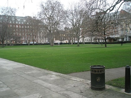
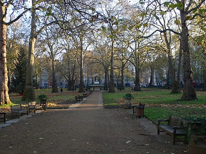
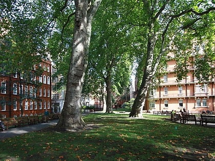
Mount Street Gardens, London
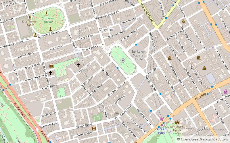
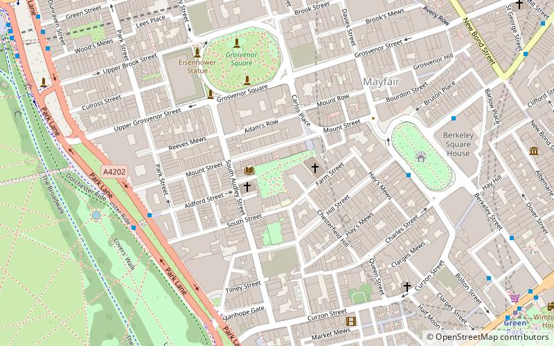
Map
Gallery
Facts and practical information
Mount Street Gardens is a public garden off Mount Street in the west of the Mayfair area of London, England. The gardens were created in 1889 out of a former burial ground of St George's, Hanover Square, and named after the Mount Field, an area including a fortification dating from the English Civil War named Oliver's Mount. ()
Elevation: 112 ft a.s.l.Coordinates: 51°30'34"N, 0°9'1"W
Address
City of Westminster (West End)London
ContactAdd
Social media
Add
Day trips
Mount Street Gardens – popular in the area (distance from the attraction)
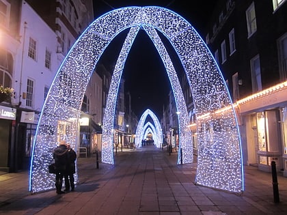
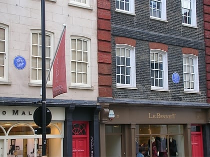
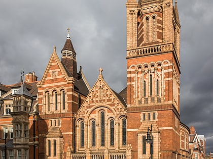
Nearby attractions include: South Molton Street, Bruton Street, Handel & Hendrix in London, Ukrainian Catholic Cathedral of the Holy Family in Exile.
Frequently Asked Questions (FAQ)
Which popular attractions are close to Mount Street Gardens?
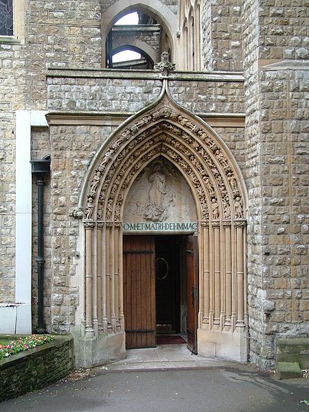
Nearby attractions include South Audley Street, London (1 min walk), Grosvenor Chapel, London (2 min walk), Church of the Immaculate Conception, London (2 min walk), Sadie Coles HQ, London (2 min walk).
How to get to Mount Street Gardens by public transport?
The nearest stations to Mount Street Gardens:
Metro
Bus
Train
Ferry
Metro
- Bond Street • Lines: Central, Jubilee (9 min walk)
- Green Park • Lines: Jubilee, Piccadilly, Victoria (11 min walk)
Bus
- Green Park Station • Lines: 38, N38 (10 min walk)
- Marble Arch • Lines: 400, 426, 905, A6 (10 min walk)
Train
- London Victoria (27 min walk)
- Charing Cross (30 min walk)
Ferry
- Westminster Pier • Lines: Blue Tour, Green Tour, Rb1, Rb1X, Rb2, Red Tour (33 min walk)
 Tube
Tube