Astoria 2, London
Map
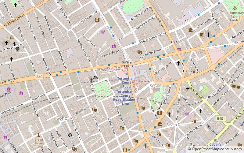
Map

Facts and practical information
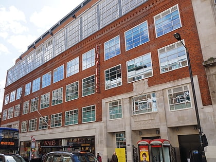
The Astoria 2, subsequently known as the LA2 then the Mean Fiddler, was a nightclub at 165 Charing Cross Road in London, England. ()
Coordinates: 51°30'57"N, 0°7'51"W
Address
City of Westminster (West End)London
ContactAdd
Social media
Add
Day trips
Astoria 2 – popular in the area (distance from the attraction)
Nearby attractions include: Denmark Street, Soho, Old Compton Street, Foyles.
Frequently Asked Questions (FAQ)
Which popular attractions are close to Astoria 2?
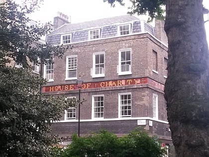
Nearby attractions include Centre Point, London (2 min walk), St Giles Circus, London (2 min walk), Soho Square, London (2 min walk), House of St Barnabas, London (2 min walk).
How to get to Astoria 2 by public transport?
The nearest stations to Astoria 2:
Metro
Bus
Train
Ferry
Metro
- Tottenham Court Road • Lines: Central, Northern (1 min walk)
- Leicester Square • Lines: Northern, Piccadilly (8 min walk)
Bus
- Tottenham Court Road Station • Lines: 14, 176, 19, 24, 29, 38, 390, 55, 73, 98, N19, N20, N253, N279, N29, N38, N41, N5, N55, N73, N8, N98 (3 min walk)
- Tottenham Court Road • Lines: 1, N1, N171 (3 min walk)
Train
- Charing Cross (17 min walk)
- London Euston (24 min walk)
Ferry
- Embankment • Lines: Green Tour, Rb1, Rb1X, Rb2, Rb6 (19 min walk)
- Festival Pier • Lines: Green Tour (22 min walk)

 Tube
Tube