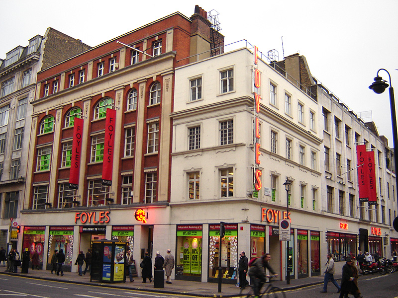
Charing Cross Road, London

Gallery (2)
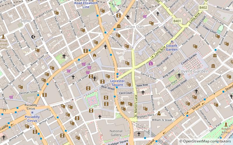
Map
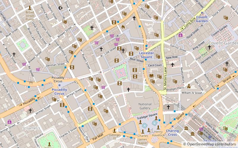
Map
Gallery
Facts and practical information
Charing Cross Road is a street in central London running immediately north of St Martin-in-the-Fields to St Giles Circus and then becomes Tottenham Court Road. It is so called because it leads from the north in the direction of Charing Cross at the south side of Trafalgar Square, which it connects via St Martin's Place and the motorised east side of the square. ()
Address
City of Westminster (St. James's)London
ContactAdd
Social media
Add
Getting there by public transportation
Public transportation stops near this location
- Metro
- Bus
- Train
- Ferry
 Metro
Metro
- Calculate routeLeicester Square 1 min walk
- Calculate routeCovent Garden 6 min walk
- Calculate routeCharing Cross 7 min walk
- Calculate routePiccadilly Circus 8 min walk
- Calculate routeCambridge Circus 3 min walk
- Calculate routeGerrard Place / Chinatown 3 min walk
- Calculate routeDean Street / Chinatown 4 min walk
- Calculate routeDenmark Street 5 min walk
- Calculate routeCharing Cross 9 min walk
- Calculate routeLondon Waterloo 24 min walk
- Calculate routeWaterloo East 26 min walk
- Calculate routeLondon Blackfriars 28 min walk
- Calculate routeEmbankment 12 min walk
- Calculate routeFestival Pier 15 min walk
- Calculate routeLondon Eye - Waterloo Pier 17 min walk
- Calculate routeWestminster Pier 19 min walk
Maps Tube
Tube
TubeDay trips


Frequently Asked Questions (FAQ)
Which popular attractions are close to Charing Cross Road?
Nearby attractions include West End theatre, London (1 min walk), Hippodrome, London (1 min walk), Wyndham's Theatre, London (2 min walk), Arts Theatre, London (2 min walk).
How to get to Charing Cross Road by public transport?
The nearest stations to Charing Cross Road:
Metro
Bus
Train
Ferry
Metro
- Leicester Square • Lines: Northern, Piccadilly (1 min walk)
- Covent Garden • Lines: Piccadilly (6 min walk)
Bus
- Cambridge Circus • Lines: 38, N38 (3 min walk)
- Gerrard Place / Chinatown • Lines: 38, N38 (3 min walk)
Train
- Charing Cross (9 min walk)
- London Waterloo (24 min walk)
Ferry
- Embankment • Lines: Green Tour, Rb1, Rb1X, Rb2, Rb6 (12 min walk)
- Festival Pier • Lines: Green Tour (15 min walk)