Bishop's Bridge, London
Map
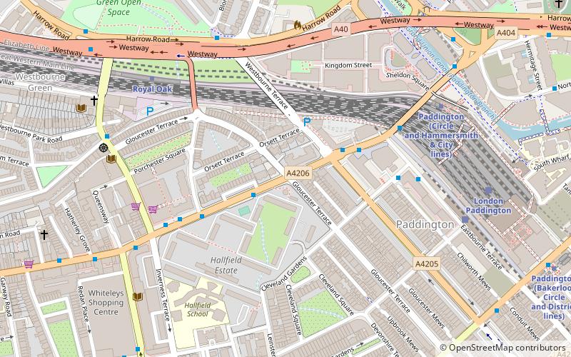
Map

Facts and practical information
Bishop's Bridge, sometimes known as Paddington Bridge, is a road bridge in the Paddington district of London which carries Bishop's Bridge Road across the rail approaches to Paddington station and across the adjacent Paddington Arm of the Grand Union Canal. The original Isambard Kingdom Brunel built bridge was replaced in 2006. The name Bishop's Bridge Road comes from the manor of Paddington which was granted to the Bishop of London, Nicholas Ridley, by Edward VI in the mid 16th Century. ()
Coordinates: 51°31'2"N, 0°11'0"W
Address
City of Westminster (Lancaster Gate)London
ContactAdd
Social media
Add
Day trips
Bishop's Bridge – popular in the area (distance from the attraction)
Nearby attractions include: Westbourne Grove, Whiteleys, Hyde Park pet cemetery, Canal Cafe Theatre.
Frequently Asked Questions (FAQ)
Which popular attractions are close to Bishop's Bridge?
Nearby attractions include Westbourne Bridge, London (4 min walk), Porchester Square, London (5 min walk), Great Western Railway War Memorial, London (6 min walk), Canal Cafe Theatre, London (7 min walk).
How to get to Bishop's Bridge by public transport?
The nearest stations to Bishop's Bridge:
Bus
Metro
Train
Bus
- Gloucester Terrace • Lines: 23, 27, 36, 7, N27, N7 (2 min walk)
- Bishops Bridge Road / Westbourne Terrace • Lines: 23, 27, 36, 7, N27, N7 (3 min walk)
Metro
- Royal Oak • Lines: Circle, Hammersmith & City (6 min walk)
- Paddington • Lines: Bakerloo, Circle, District (8 min walk)
Train
- London Paddington (7 min walk)
- London Marylebone (26 min walk)

 Tube
Tube