Canalside Park, Liverpool
Map

Map

Facts and practical information
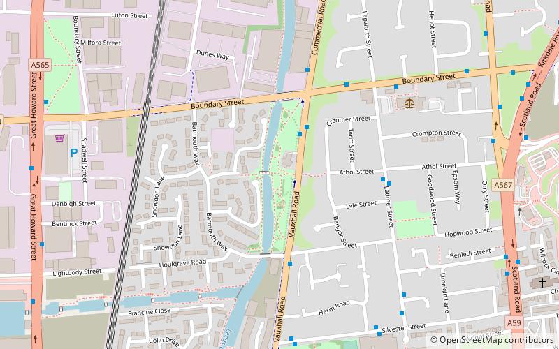
Canalside Park is a public park in the Vauxhall district of north Liverpool, England. The park is a recent creation and is on reclaimed industrial land running alongside the Leeds and Liverpool Canal by Vauxhall Road. The park contains several wildflower areas that form part of the Roots project ()
Elevation: 62 ft a.s.l.Coordinates: 53°25'27"N, 2°59'21"W
Address
KirkdaleLiverpool
ContactAdd
Social media
Add
Day trips
Canalside Park – popular in the area (distance from the attraction)
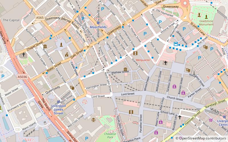
Nearby attractions include: Walker Art Gallery, Metquarter, St Johns Shopping Centre, Cavern Pub.
Frequently Asked Questions (FAQ)
Which popular attractions are close to Canalside Park?
Nearby attractions include Liverpool Hydraulic Power Company, Liverpool (1 min walk), St Sylvester's Church, Liverpool (6 min walk), St Anthony's Church, Liverpool (10 min walk), Church of Our Lady of Reconciliation, Liverpool (12 min walk).
How to get to Canalside Park by public transport?
The nearest stations to Canalside Park:
Train
Bus
Train
- Sandhills (10 min walk)
- Bank Hall (25 min walk)
Bus
- Crosshall St/stop Cx • Lines: 18 (29 min walk)
- Dale St/stop Dd • Lines: 18 (29 min walk)


