Haddon Tunnel, Peak District
Map

Map

Facts and practical information
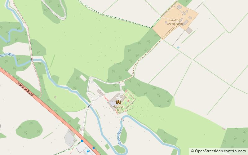
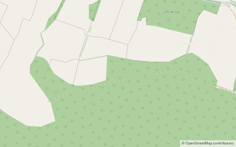
Haddon Tunnel was built by the Midland Railway in 1863 when extending the Manchester, Buxton, Matlock and Midlands Junction Railway from Rowsley to Buxton in Derbyshire, England. ()
Coordinates: 53°11'41"N, 1°38'57"W
Address
Peak District
ContactAdd
Social media
Add
Day trips
Haddon Tunnel – popular in the area (distance from the attraction)
Nearby attractions include: Haddon Hall, Holy Trinity Church, St Katherine's Church, Lees Priory.
Frequently Asked Questions (FAQ)
How to get to Haddon Tunnel by public transport?
The nearest stations to Haddon Tunnel:
Bus
Bus
- Haddon Hall • Lines: 6.1 (6 min walk)
- Picory Corner • Lines: 6.1 (12 min walk)


