Lees Priory, Peak District
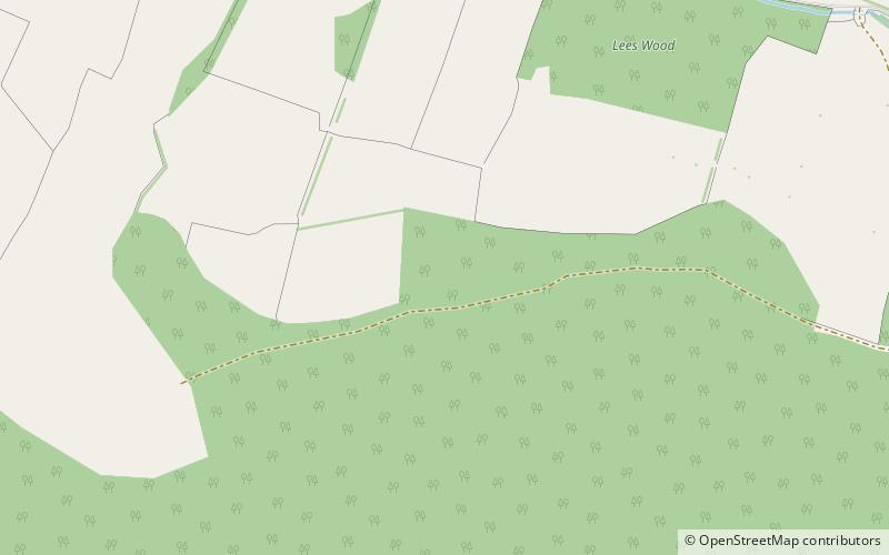
Map
Facts and practical information
Lees Priory is a former Augustinian Priory located in Derbyshire, United Kingdom. ()
Established: 1160 (866 years ago)Coordinates: 53°12'31"N, 1°37'38"W
Address
Peak District
ContactAdd
Social media
Add
Getting there by public transportation
Public transportation stops near this location
- Bus
 Bus
Bus
- Calculate routeHaddon Hall 39 min walk
Day trips


Frequently Asked Questions (FAQ)
How to get to Lees Priory by public transport?
The nearest stations to Lees Priory:
Bus
Bus
- Haddon Hall • Lines: 6.1 (39 min walk)